16 – Travels trough coloured rocks

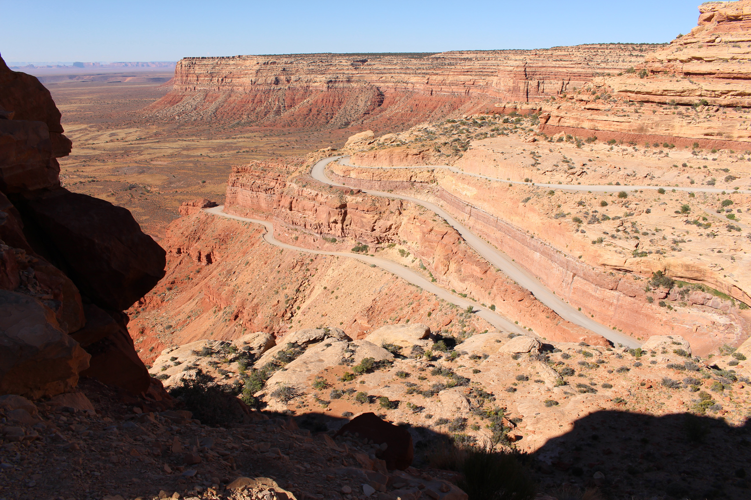
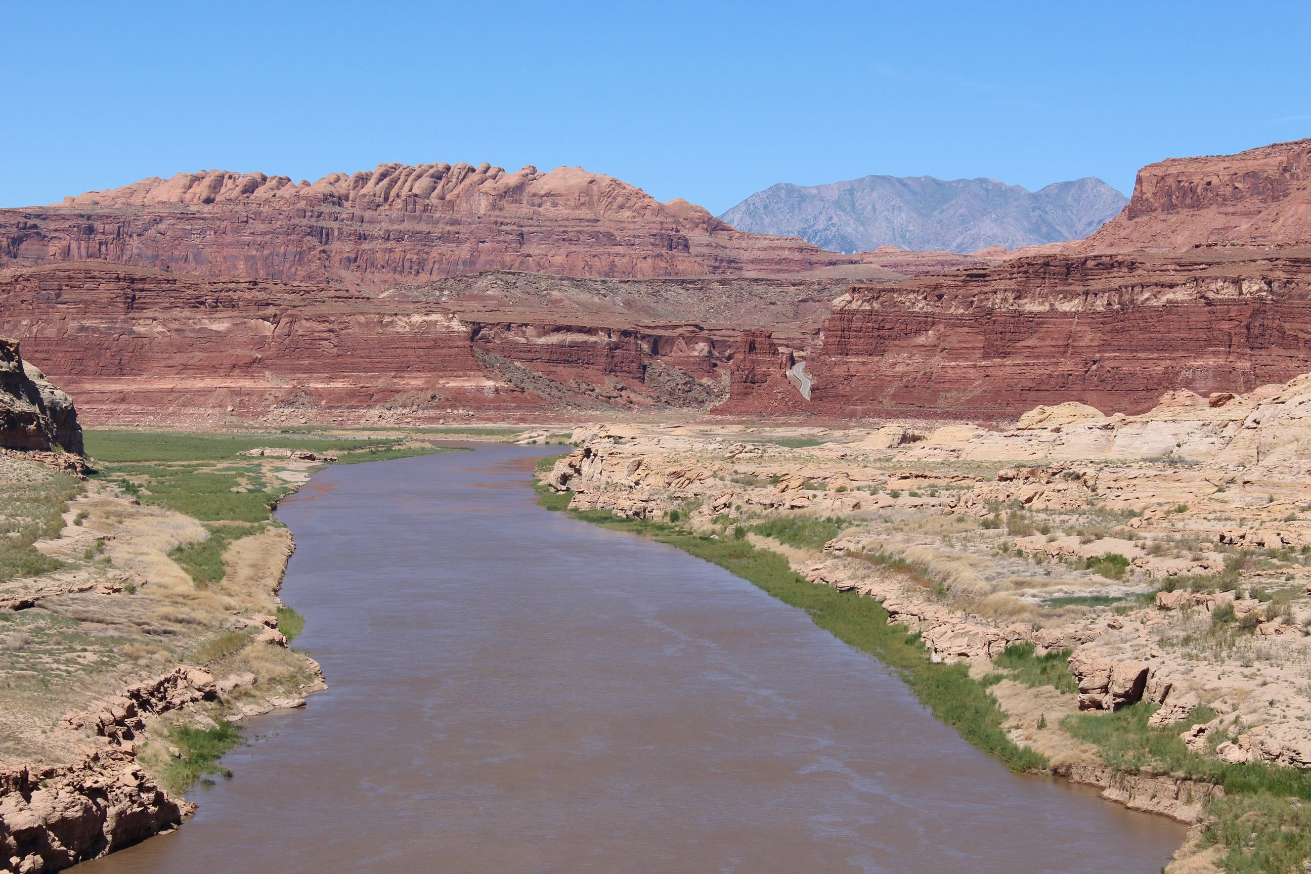
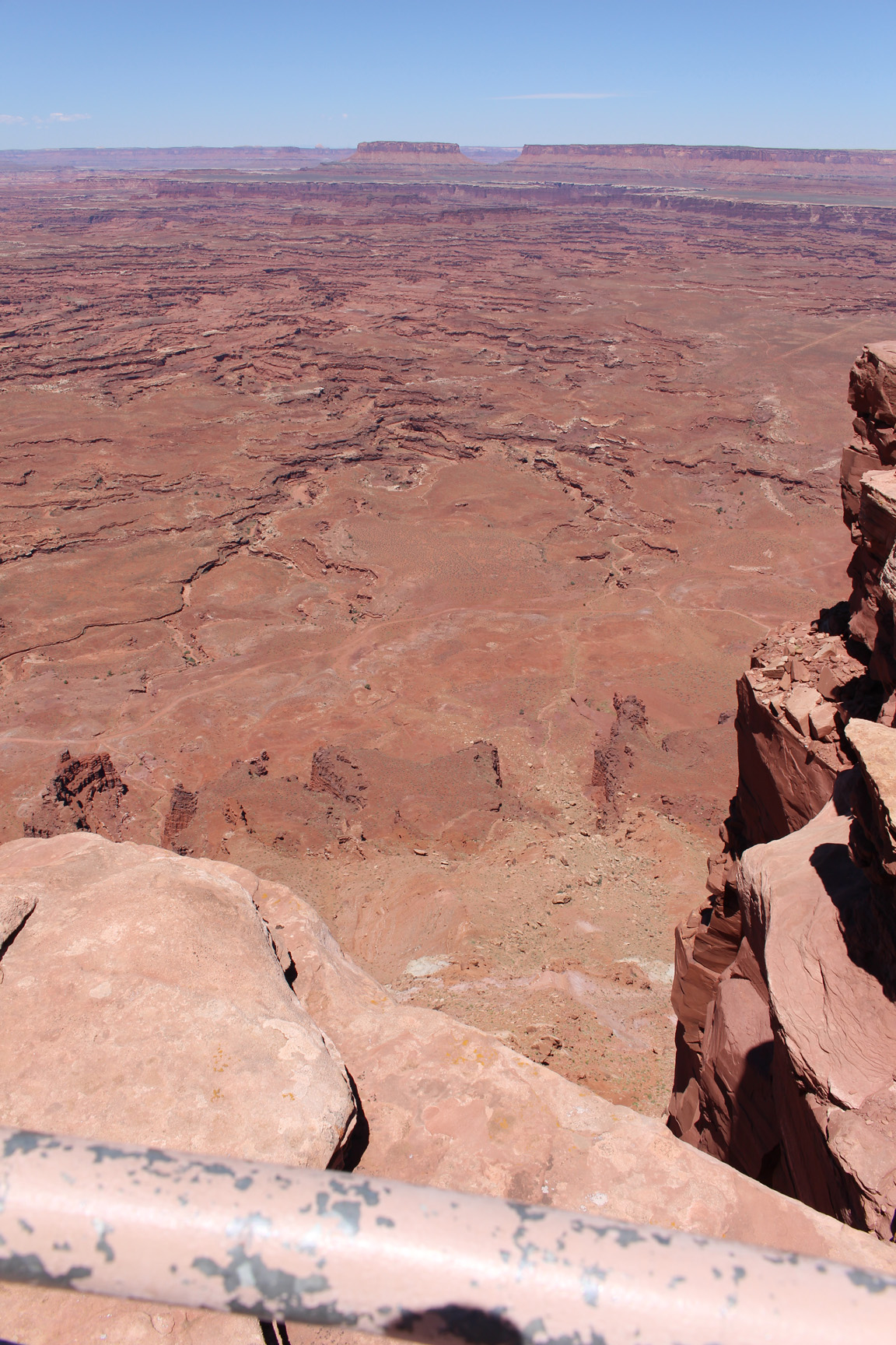
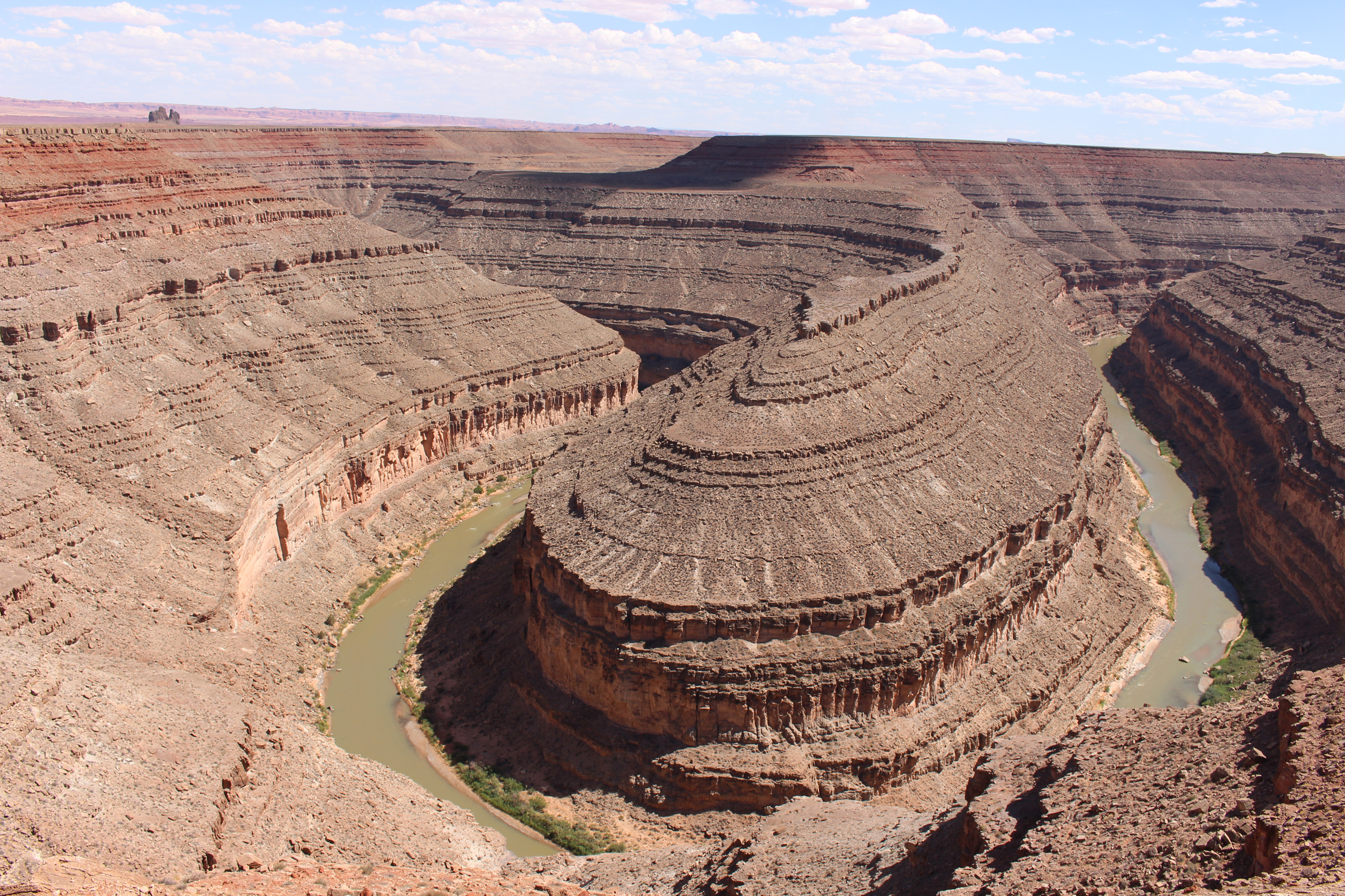
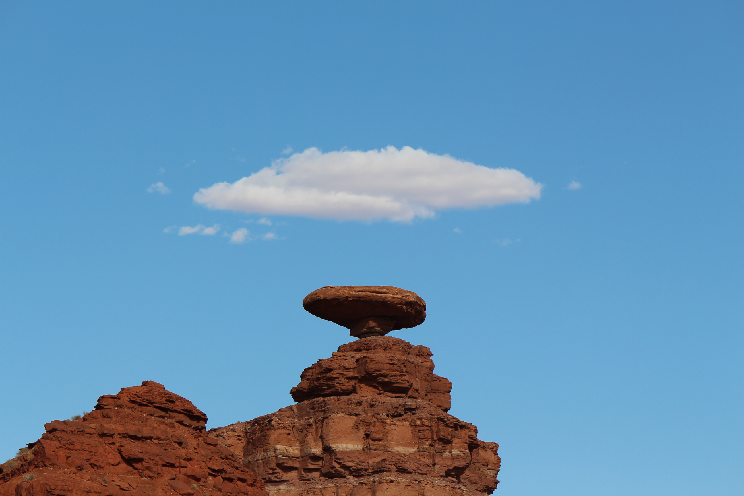
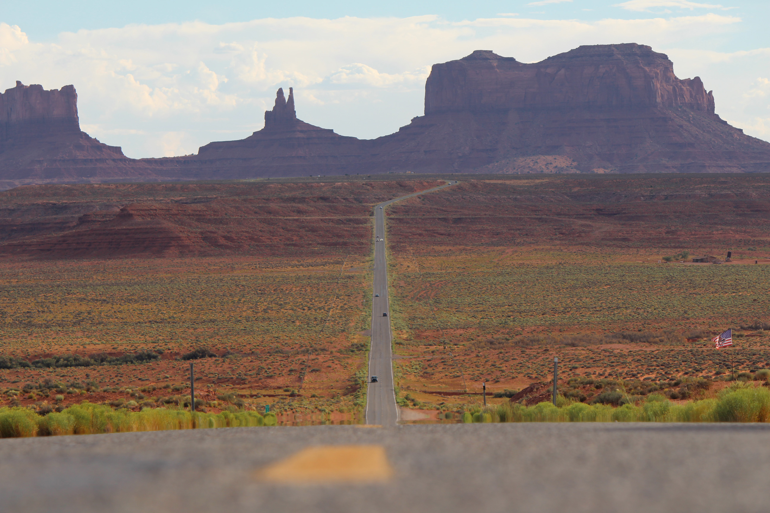
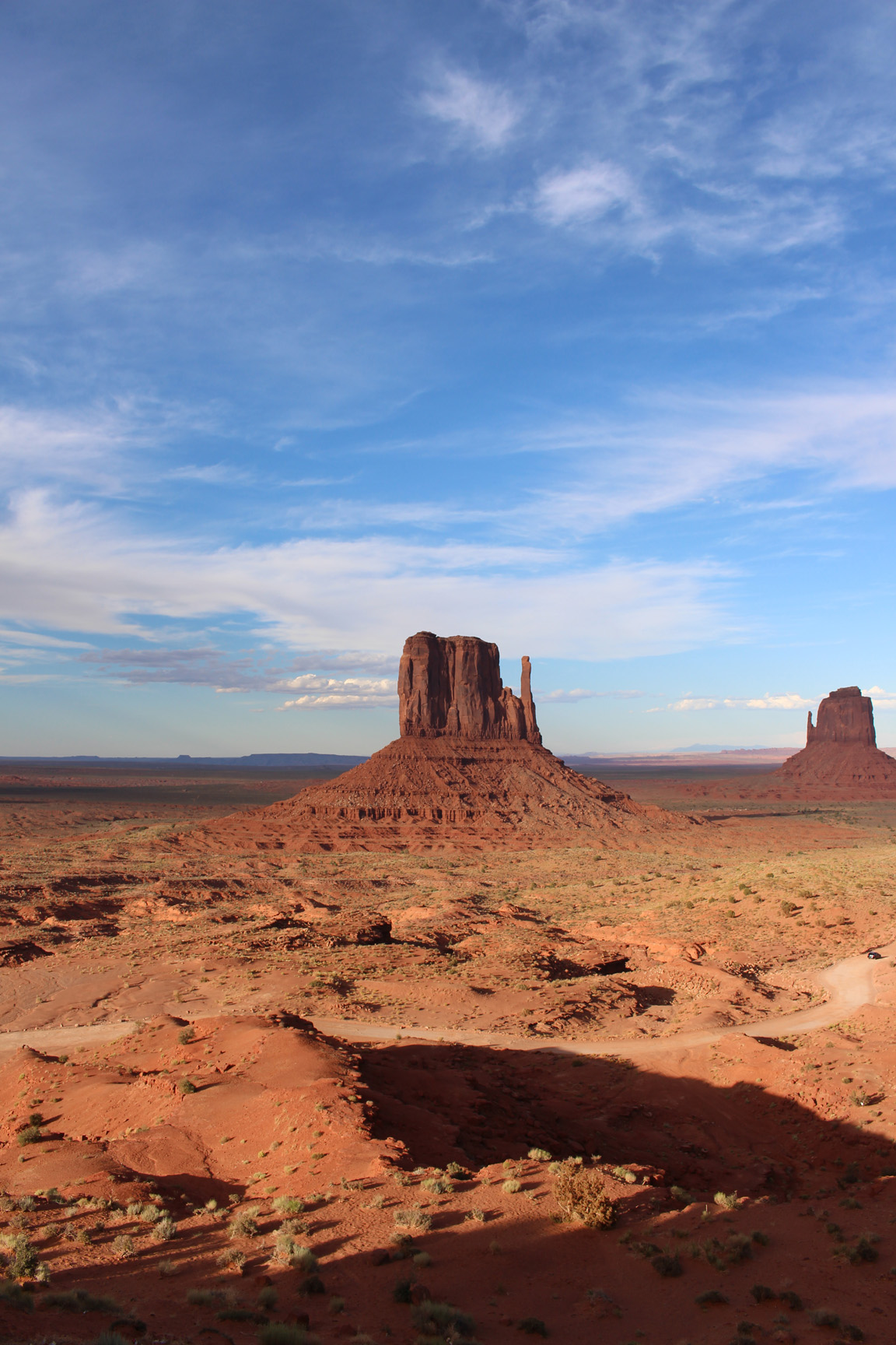
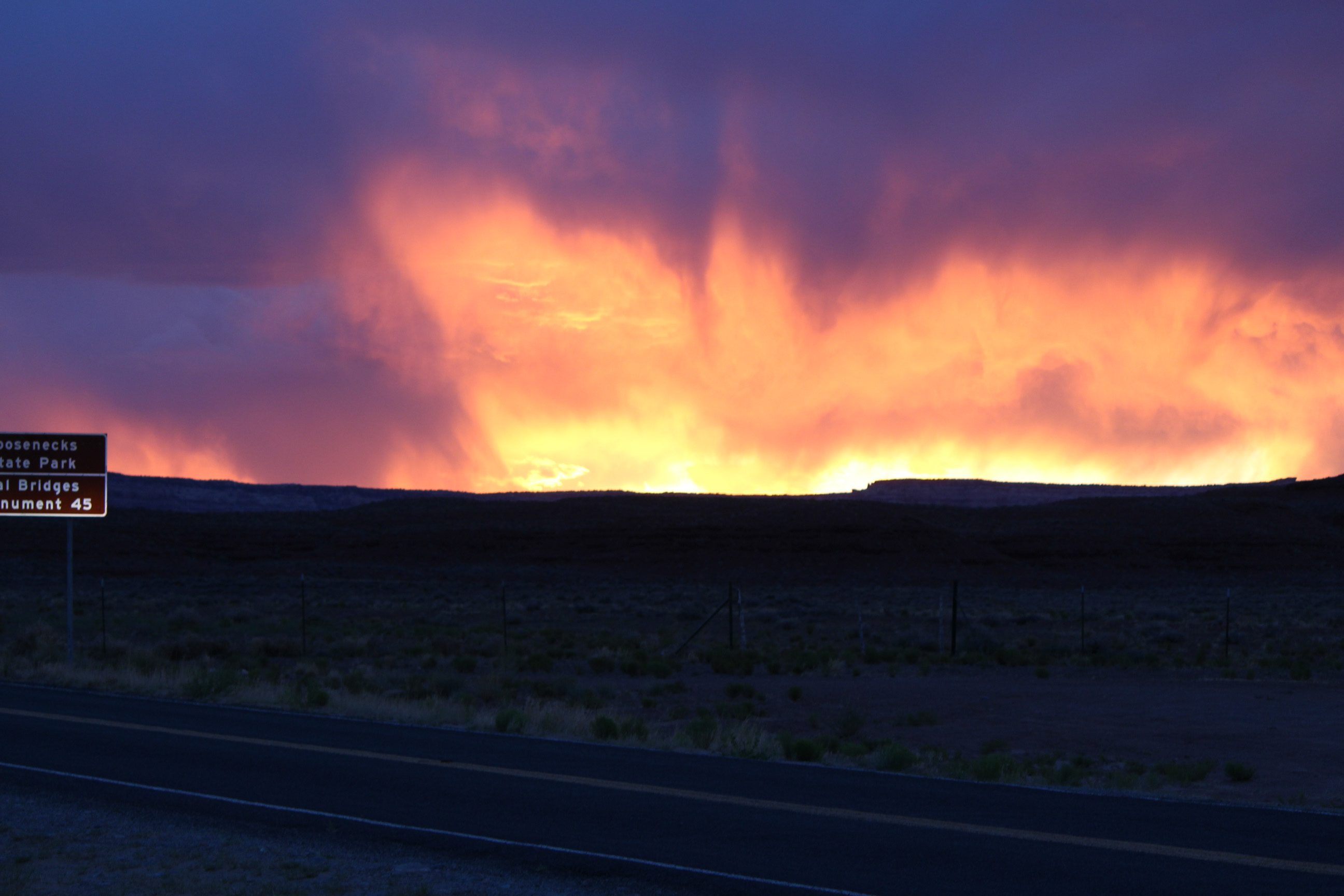
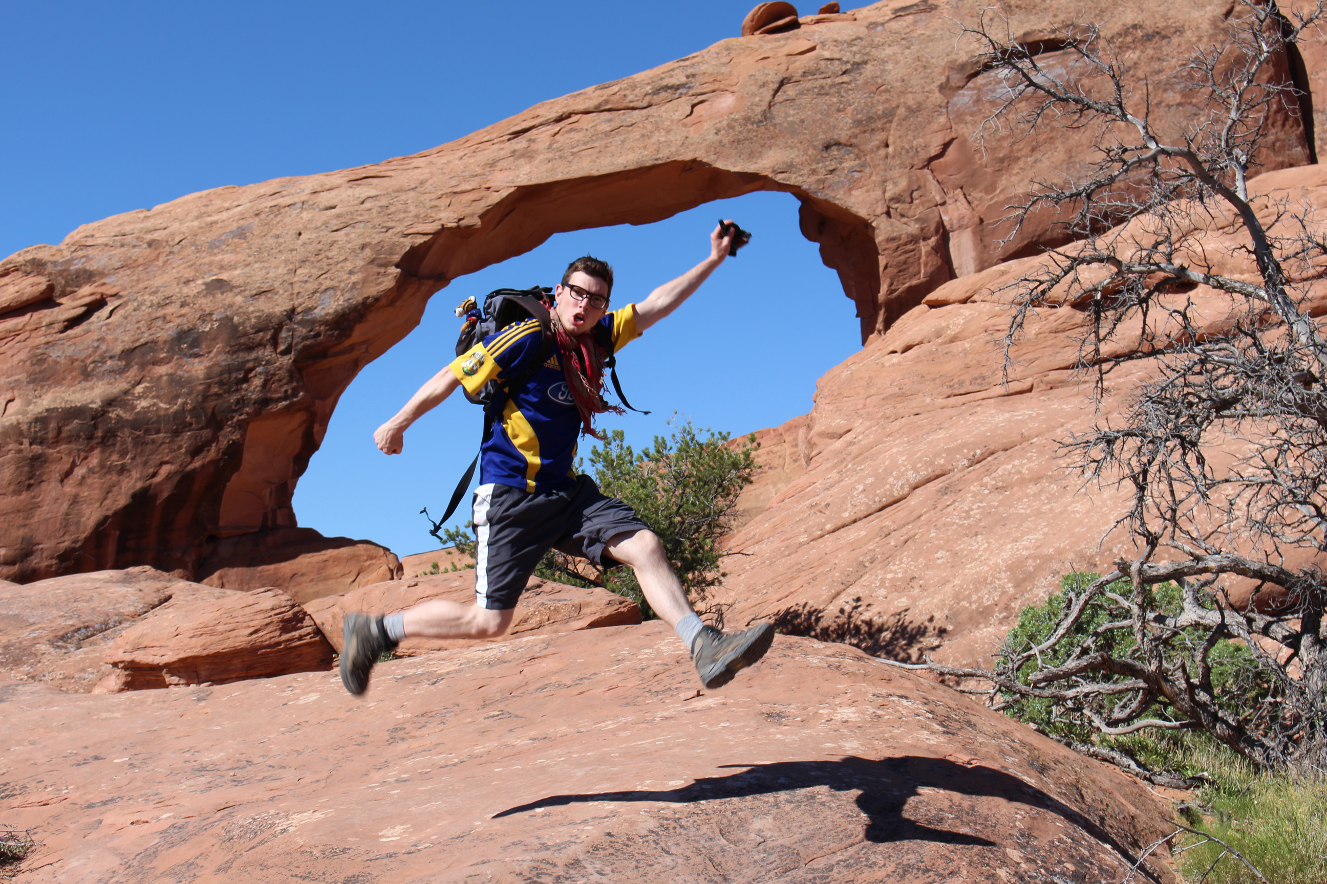
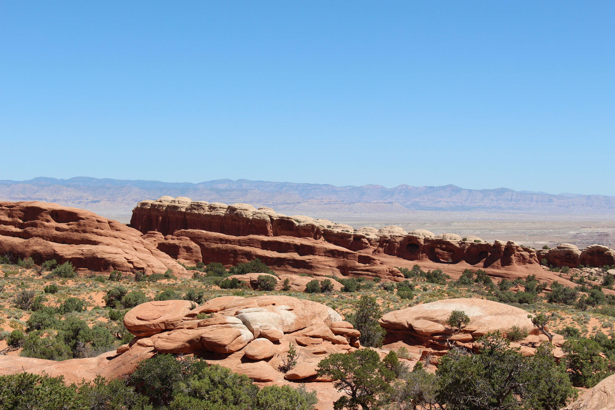
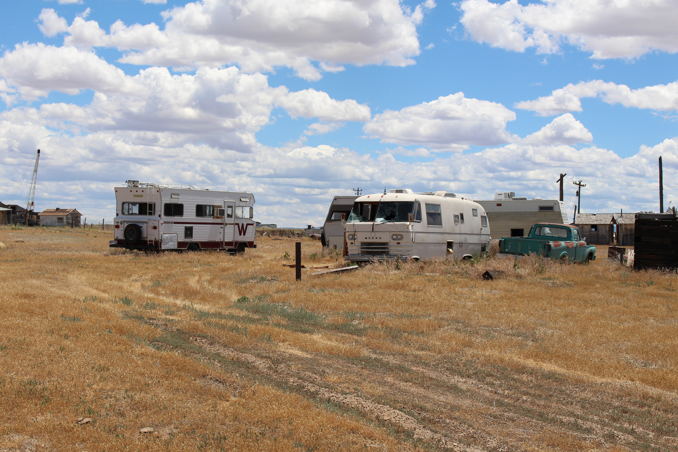
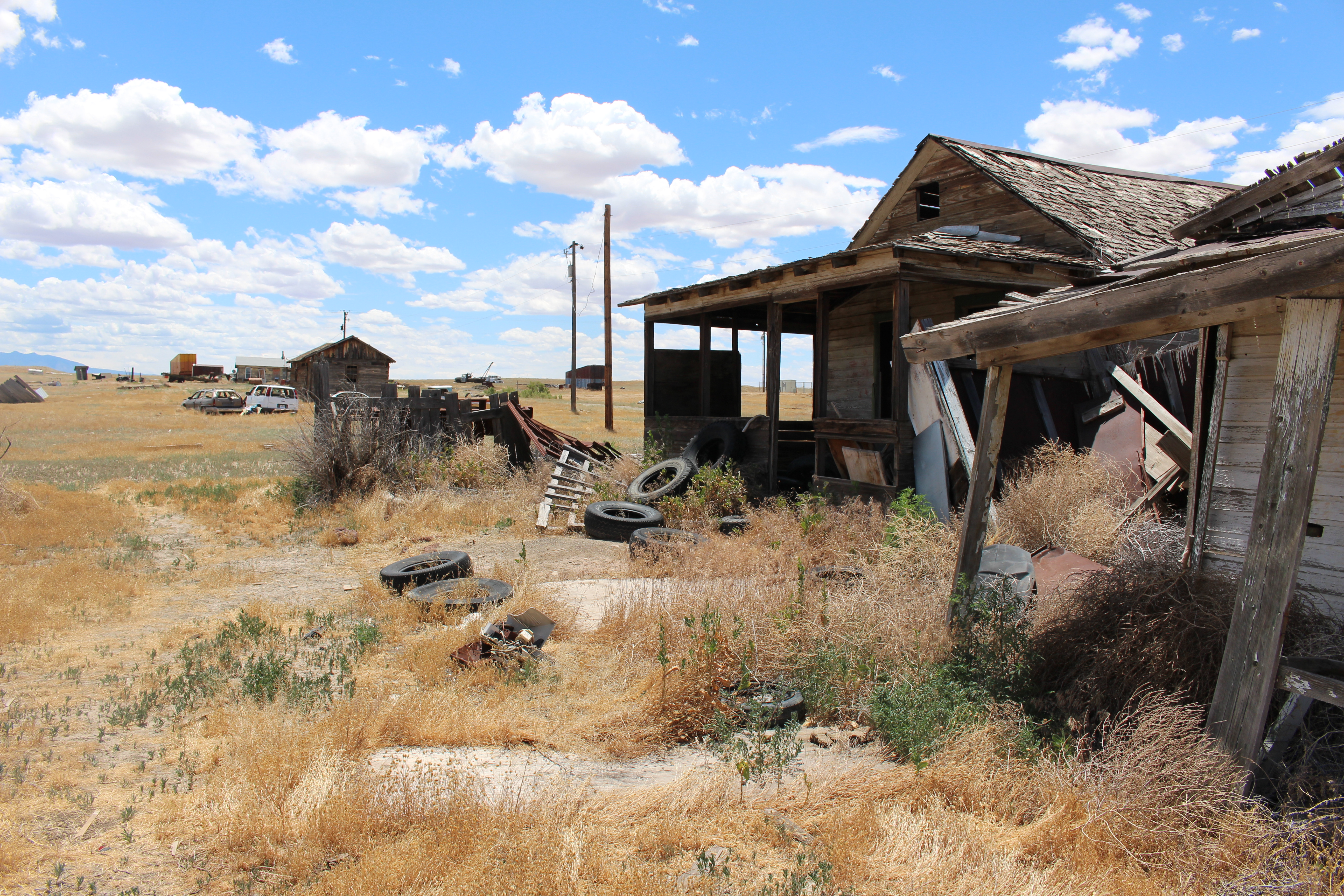
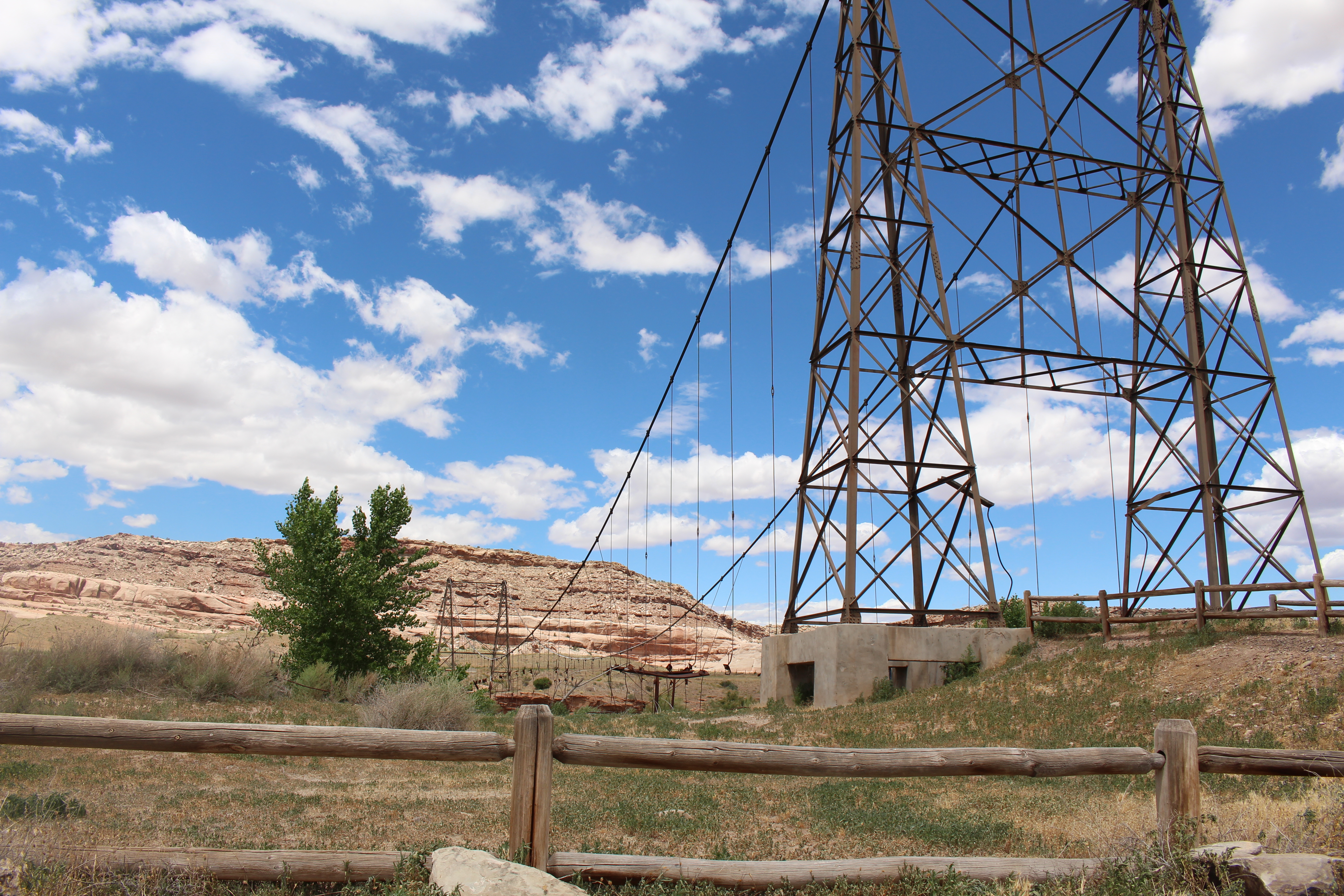
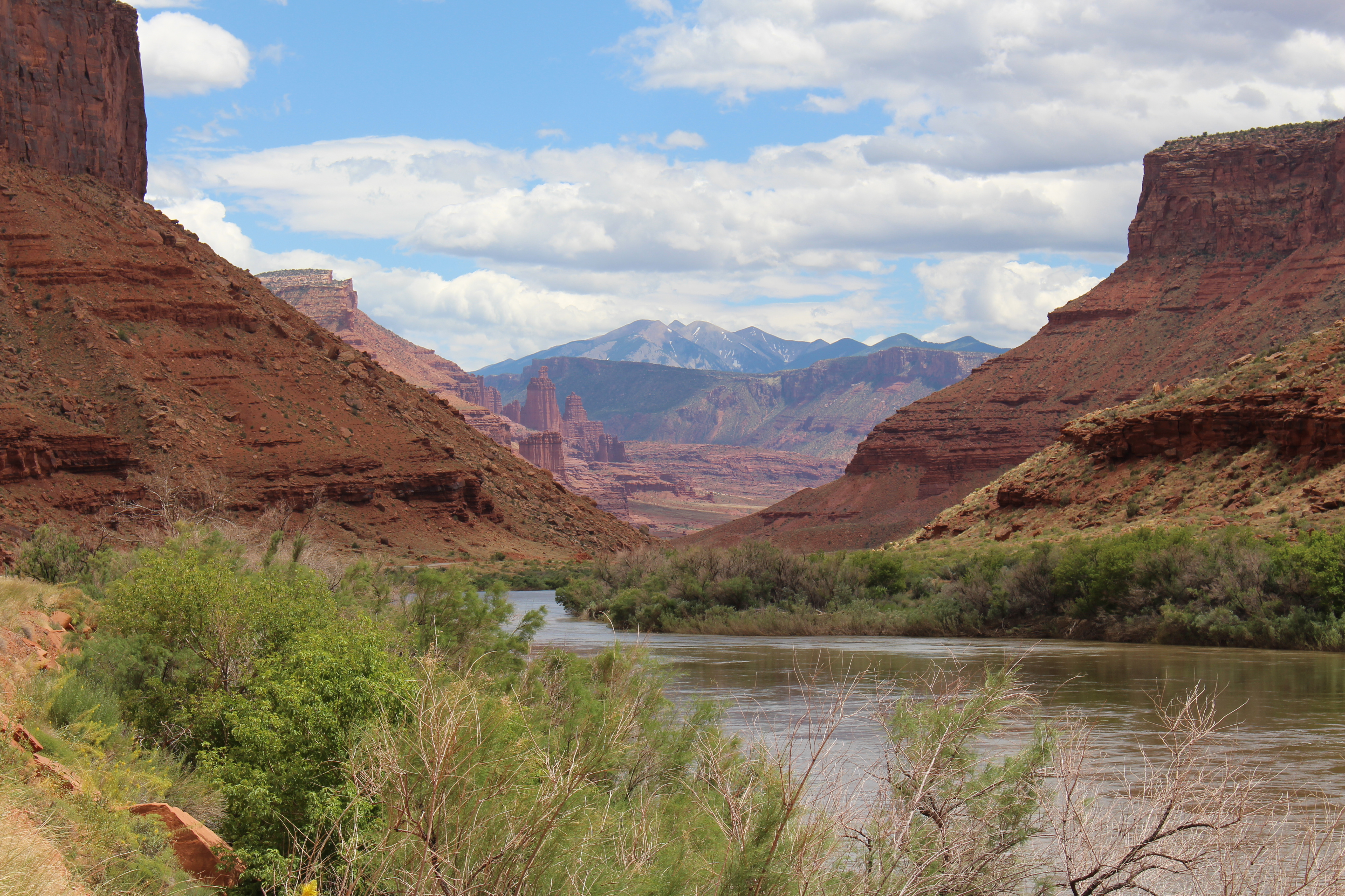
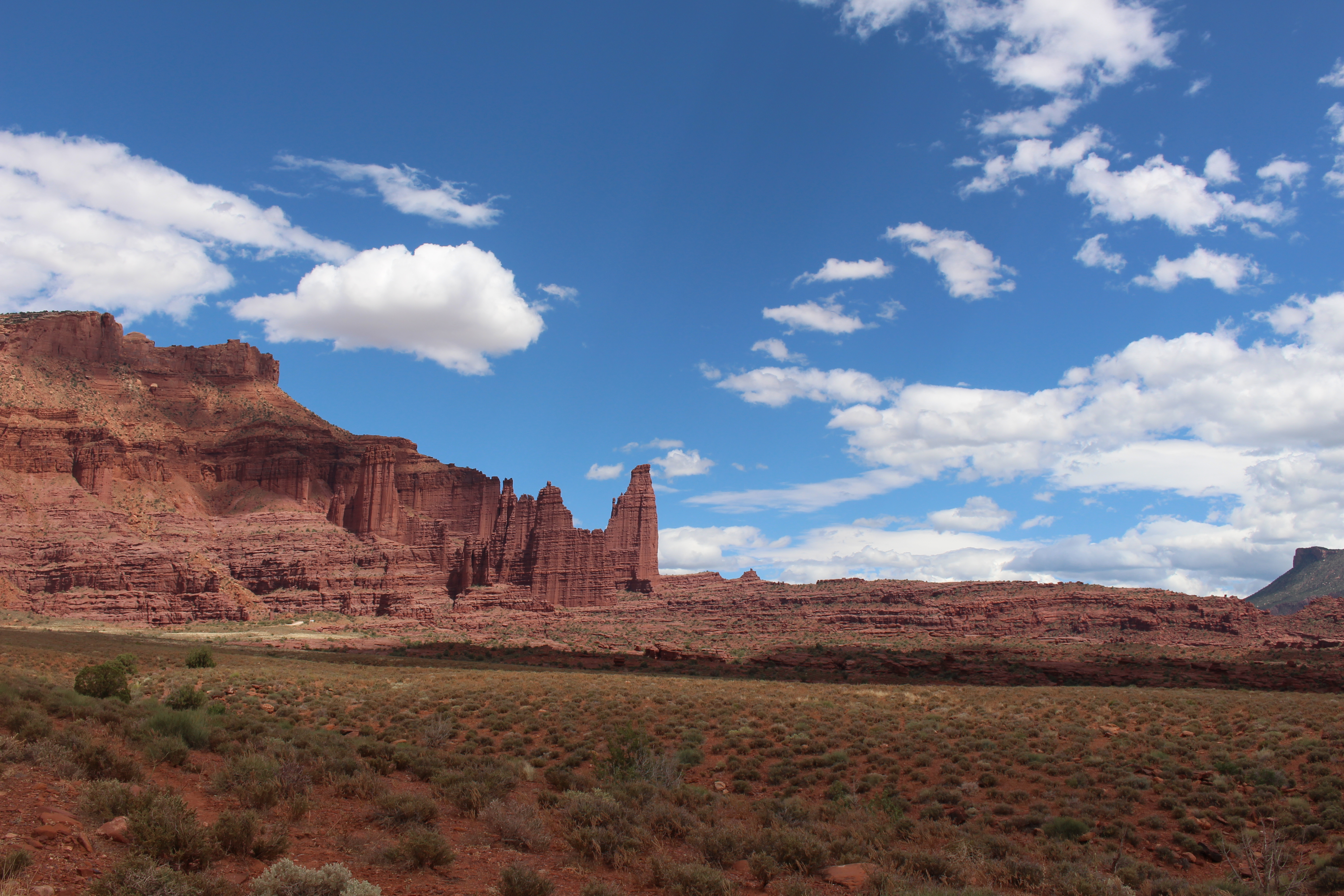
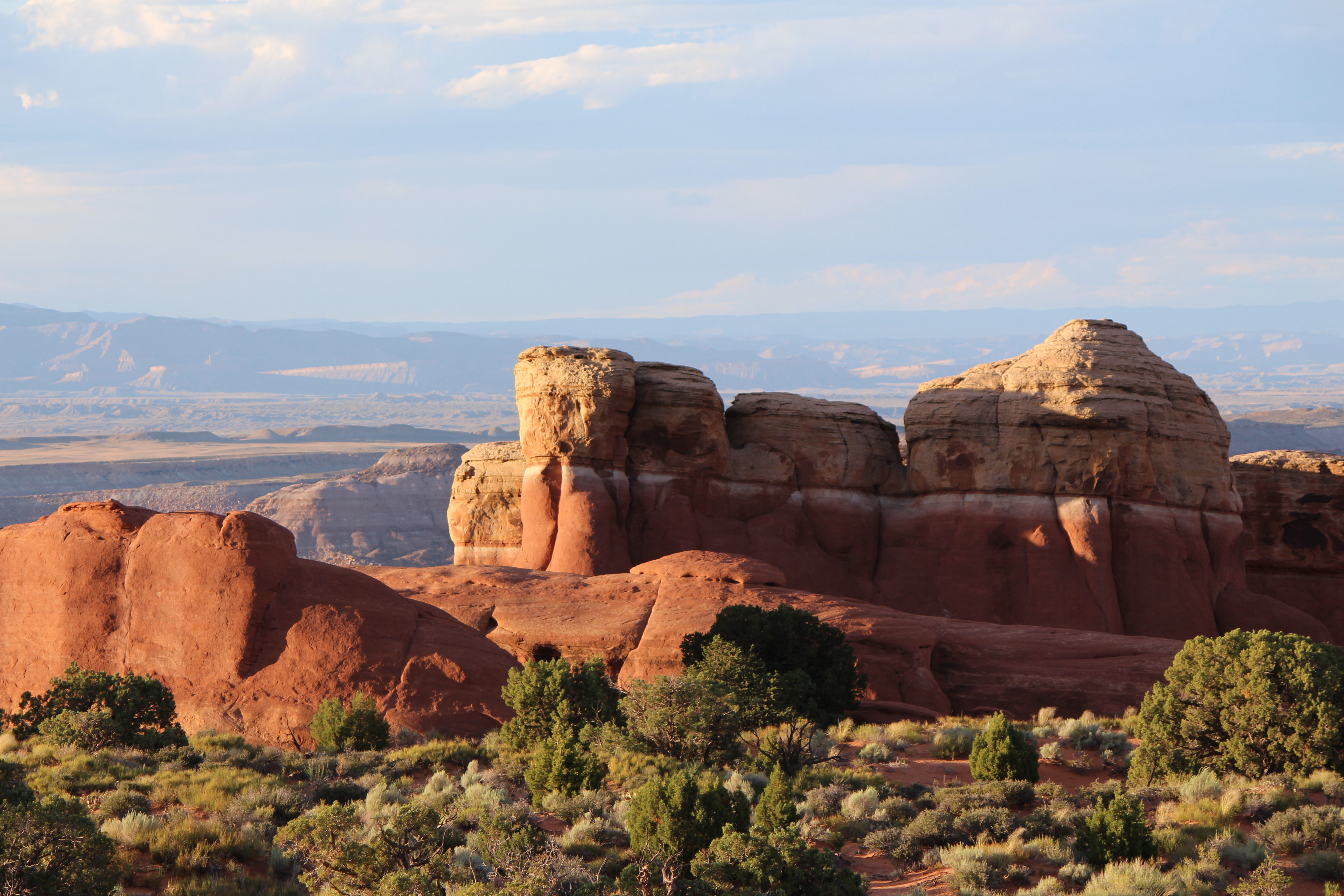
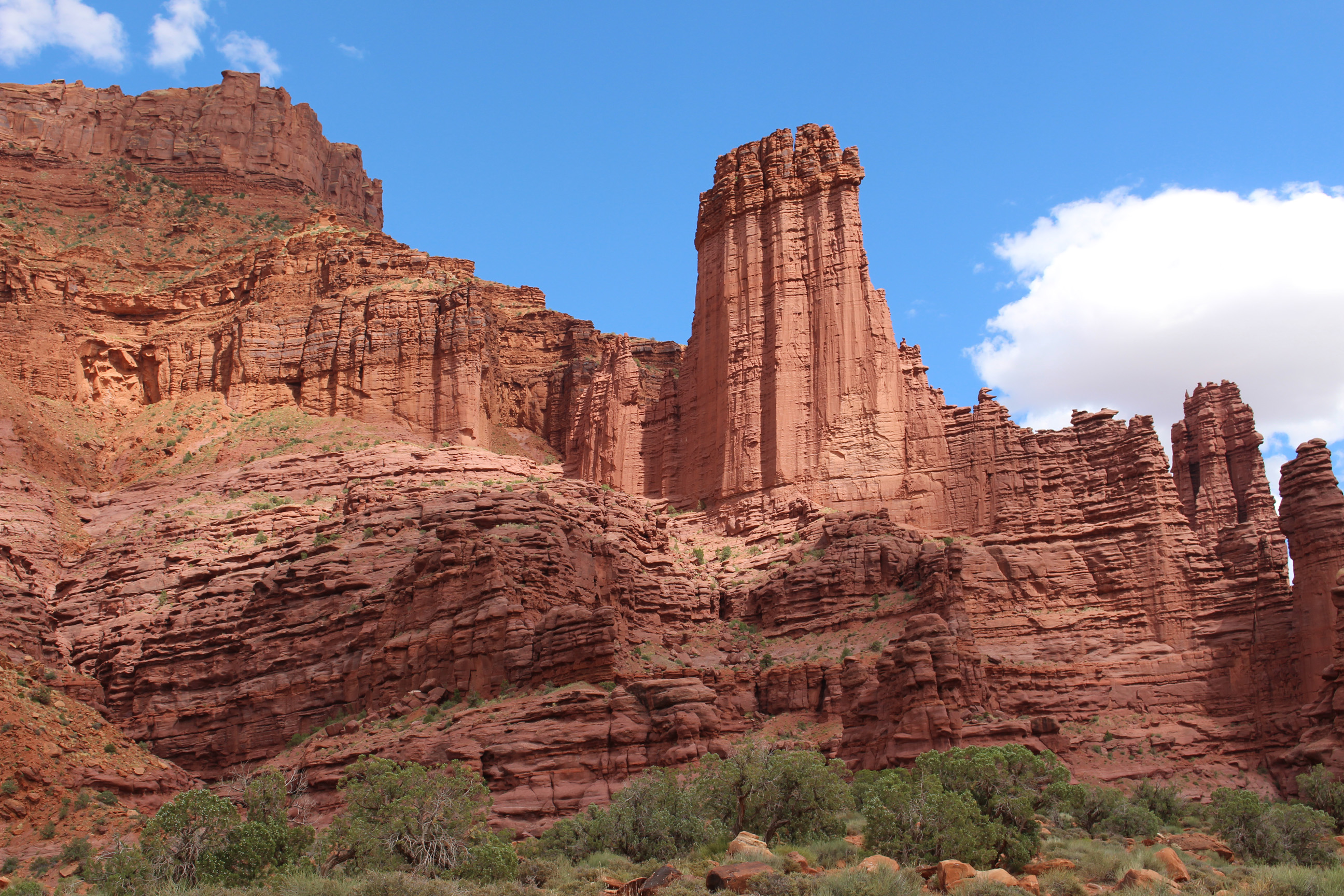
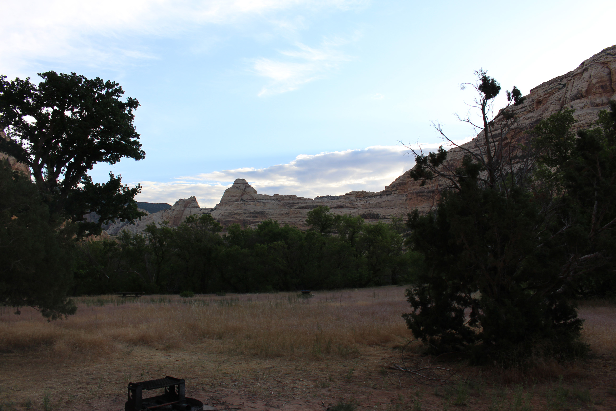
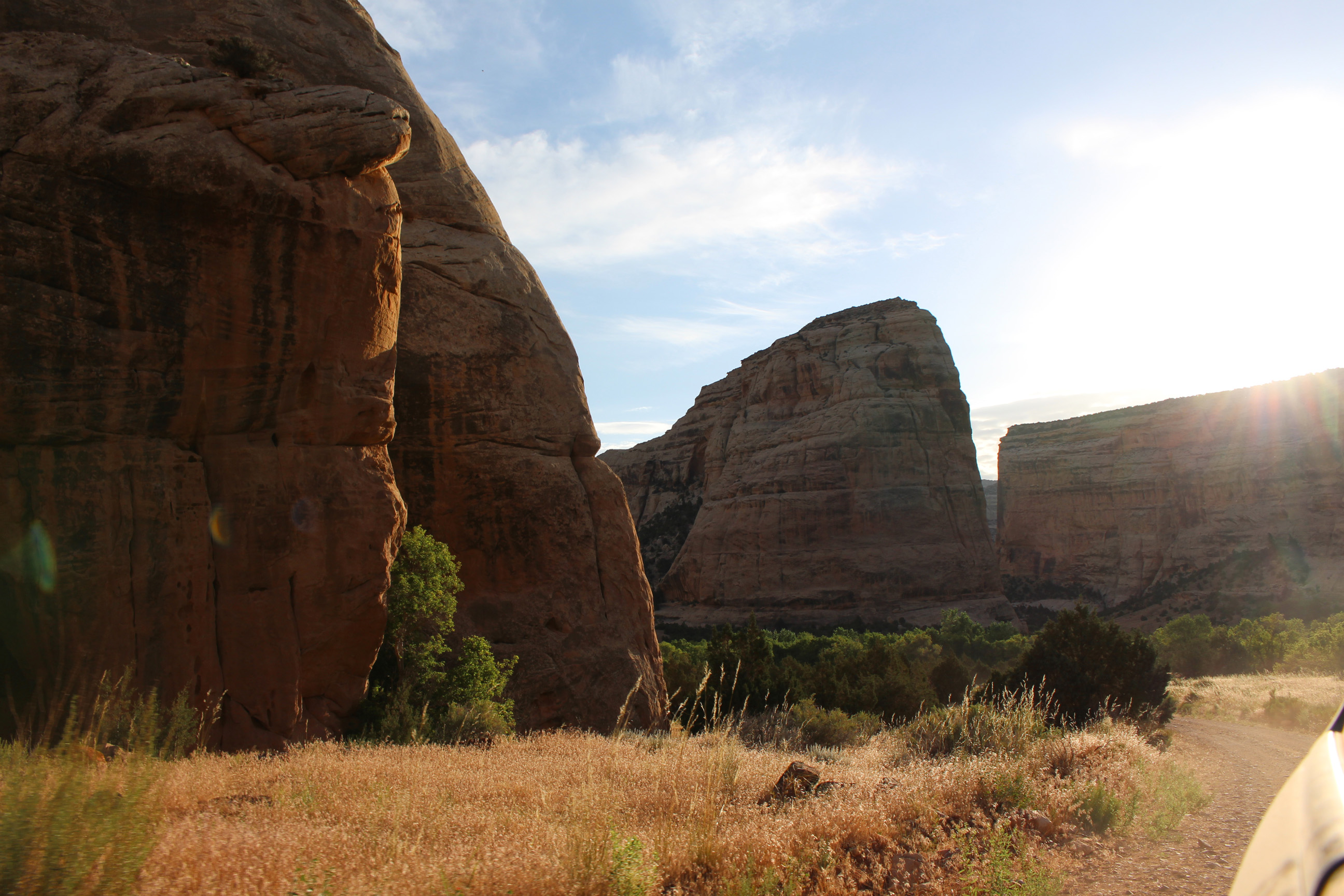
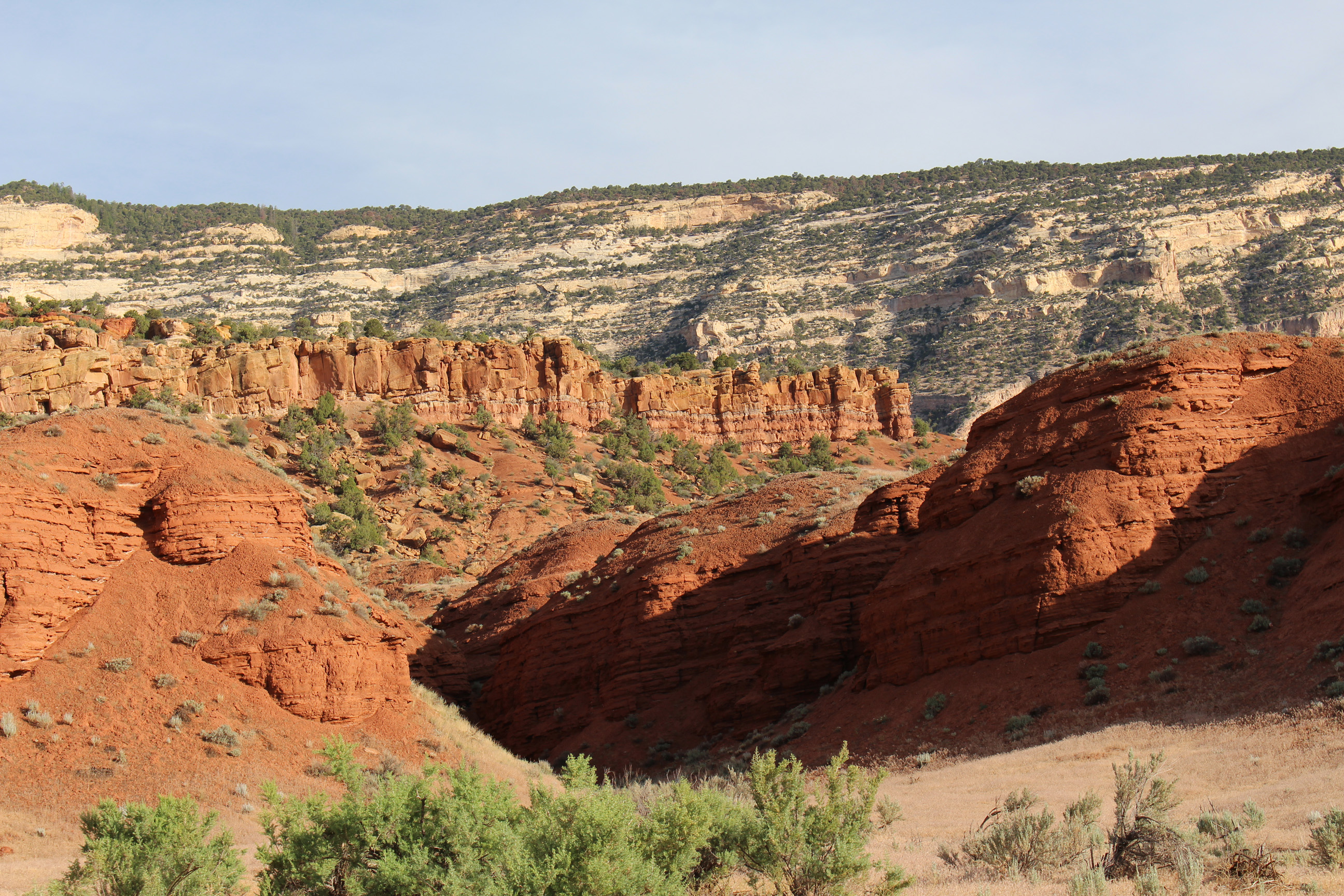
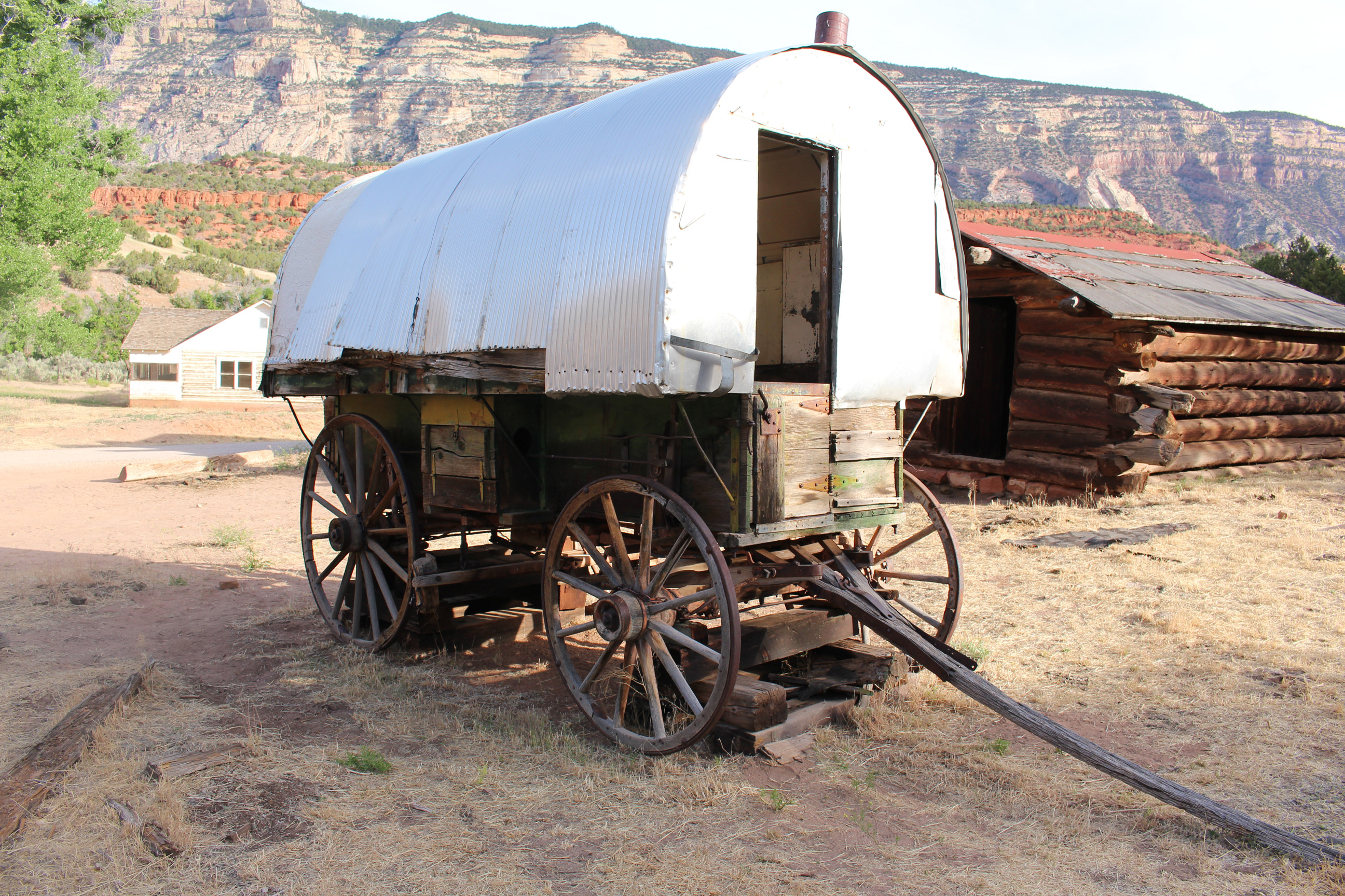
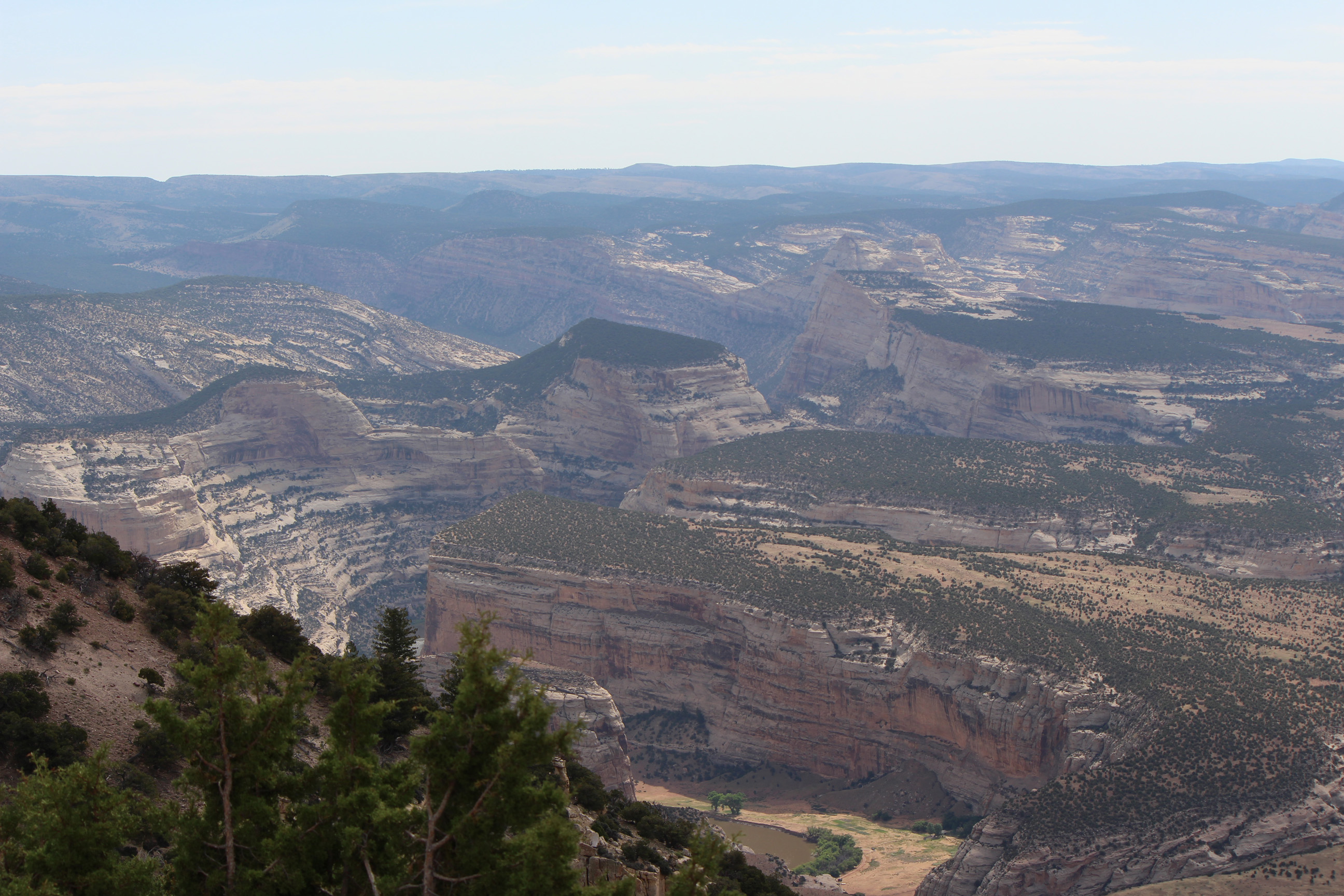
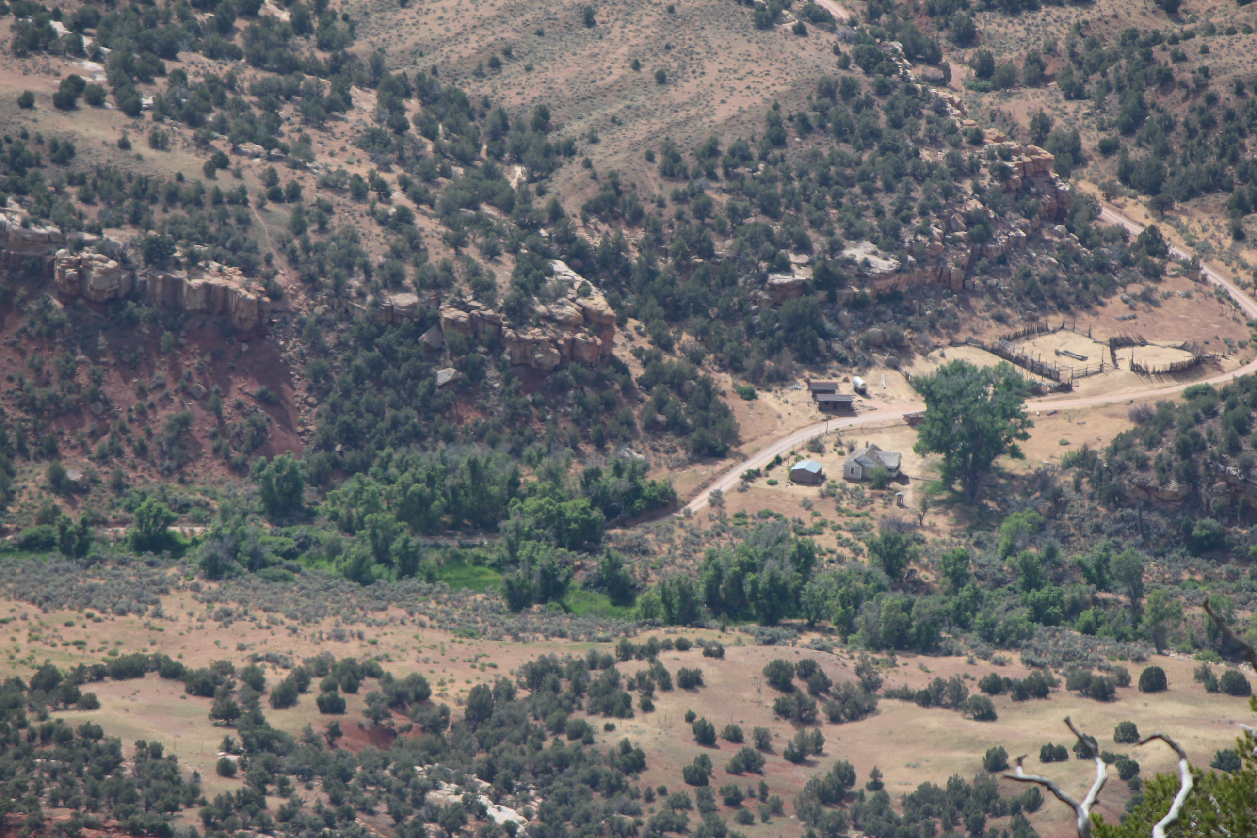
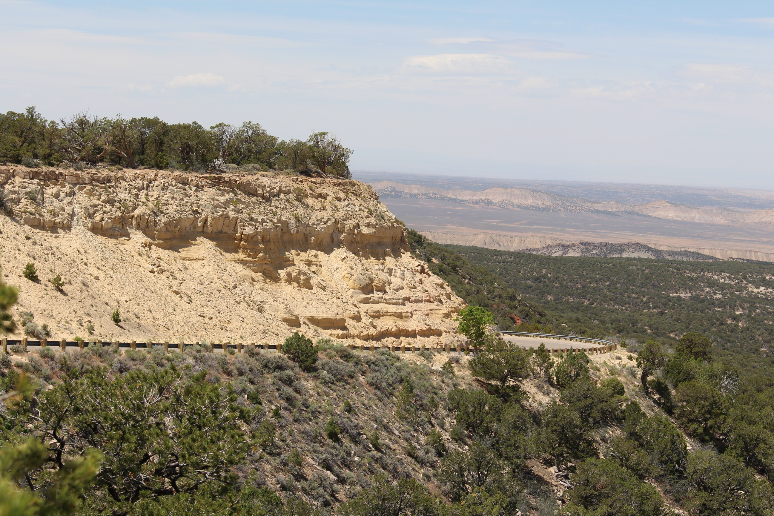
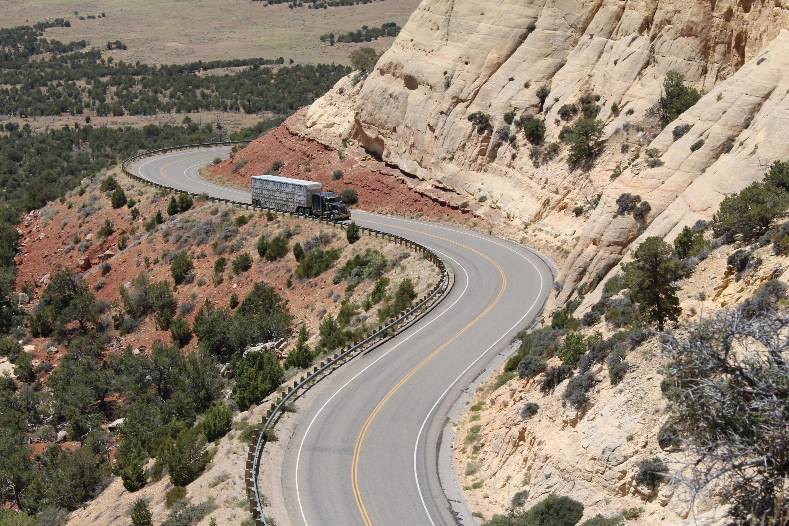
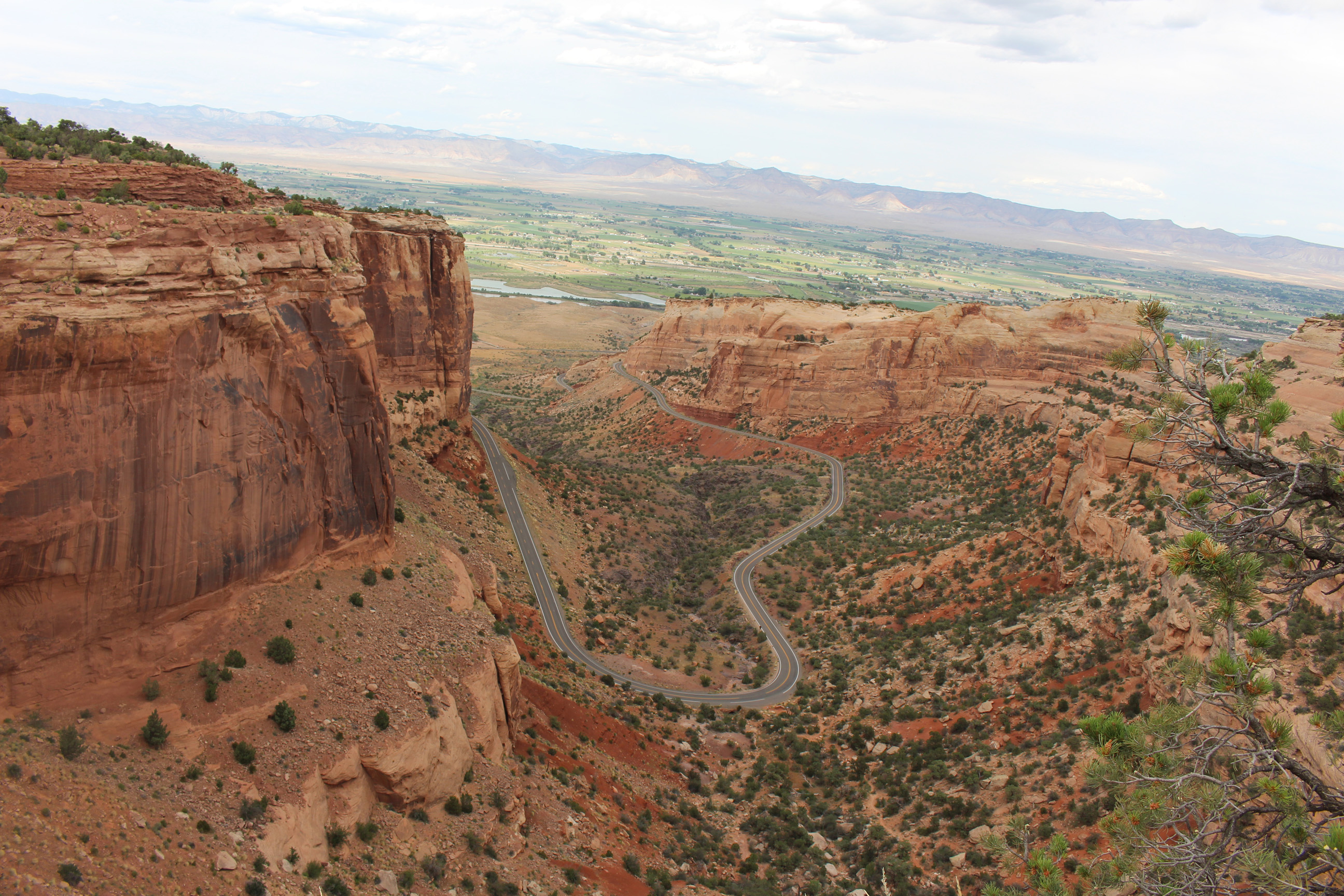
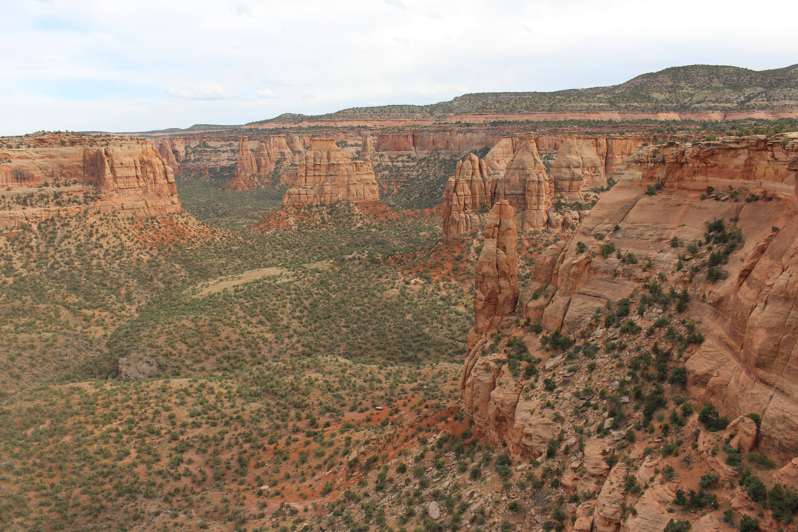
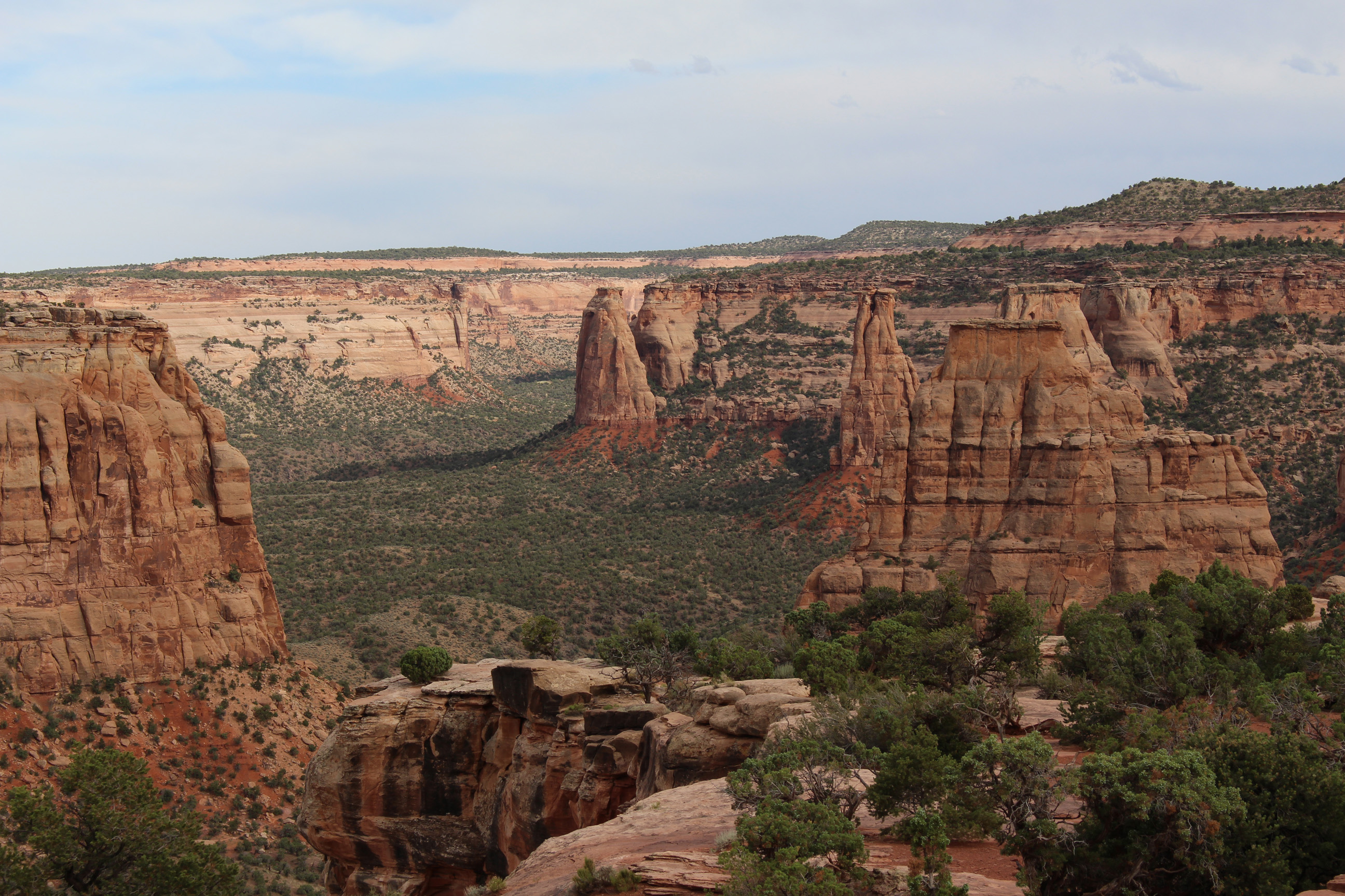
// 02.07.2014 After a night at the Deer Greek Campground we were able to sleep in due the long lasting shadow of the surrounding rocks. The campground lays between a wall and as the name says next to a greek. At Boulder we encountered a Coca Cola Truck at the local gas station (as seen in the movies around Christmas). Short after we called the Kodachrome Basin State Park our new home. A park surrounded by red, yellow and white rock. Quickly set tent and then enjoyed the Cottonwood Road (man, probably one of the most interesting roads I’ve seen on this trip). The journey leads over a steep carvel road, which turns into a dirt road. You will get a time-lapse as soon I have constant internet. On the way back home we made a quick visit at the Bryce Canyon National Park.

IMG_2545

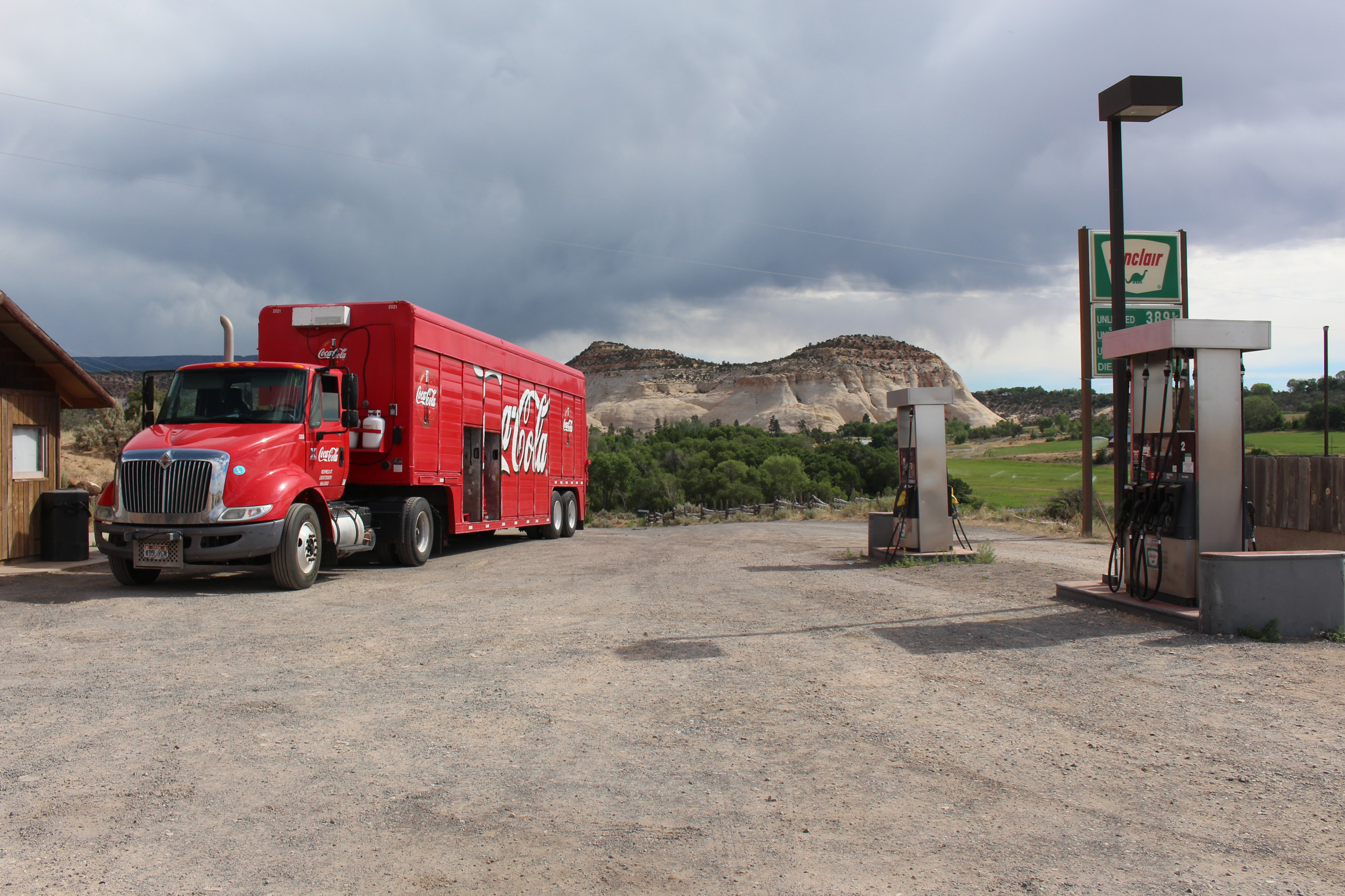
/* Coca Cola Truck at Boulder */

IMG_2572

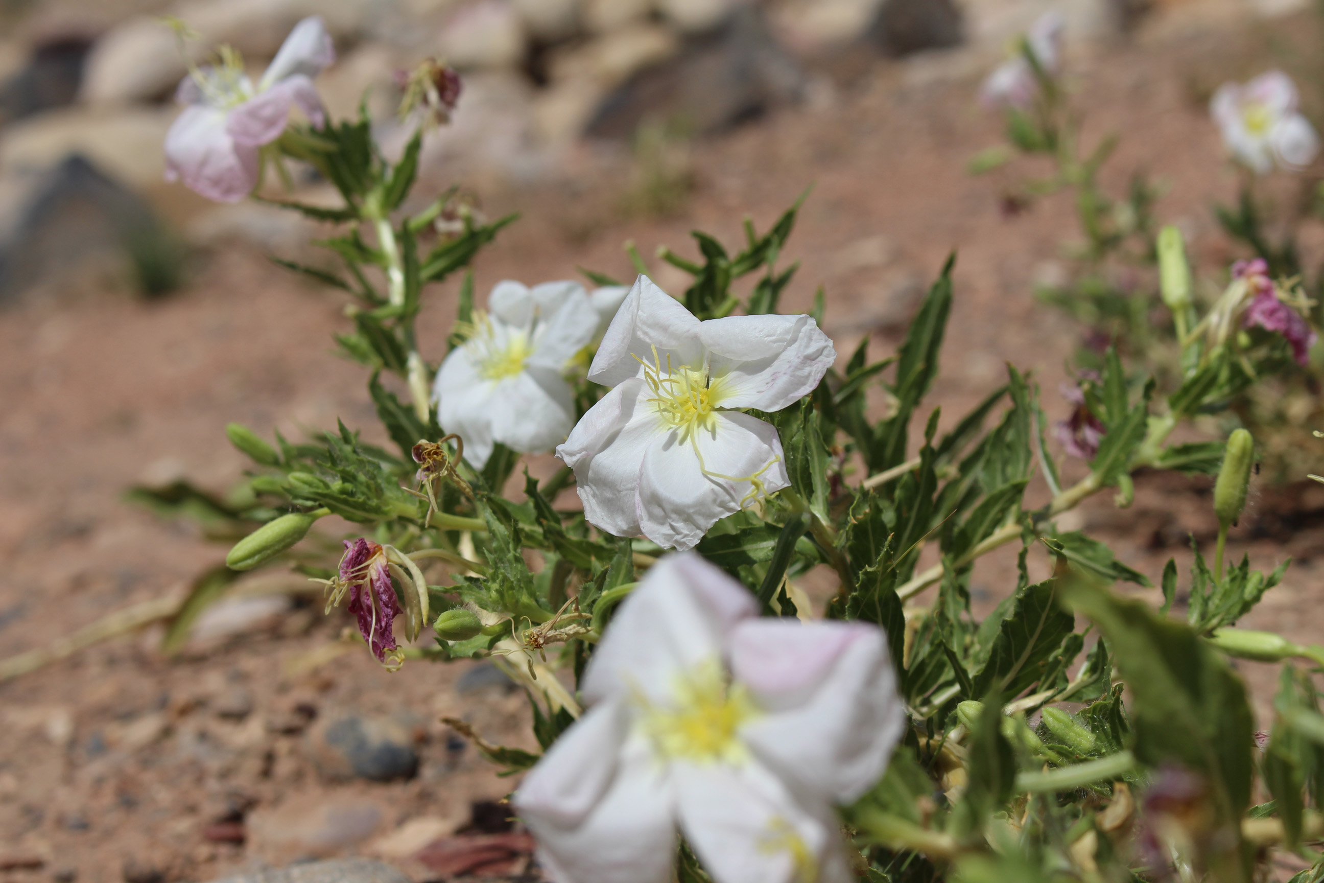
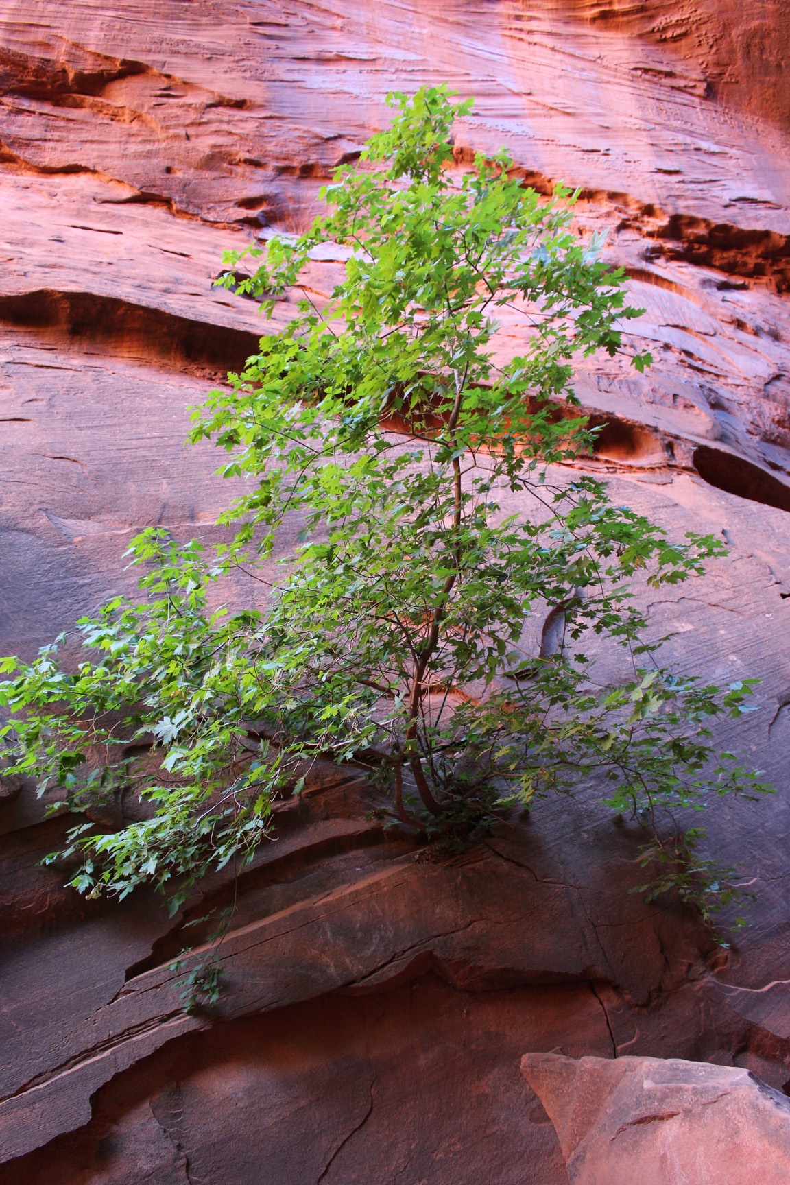
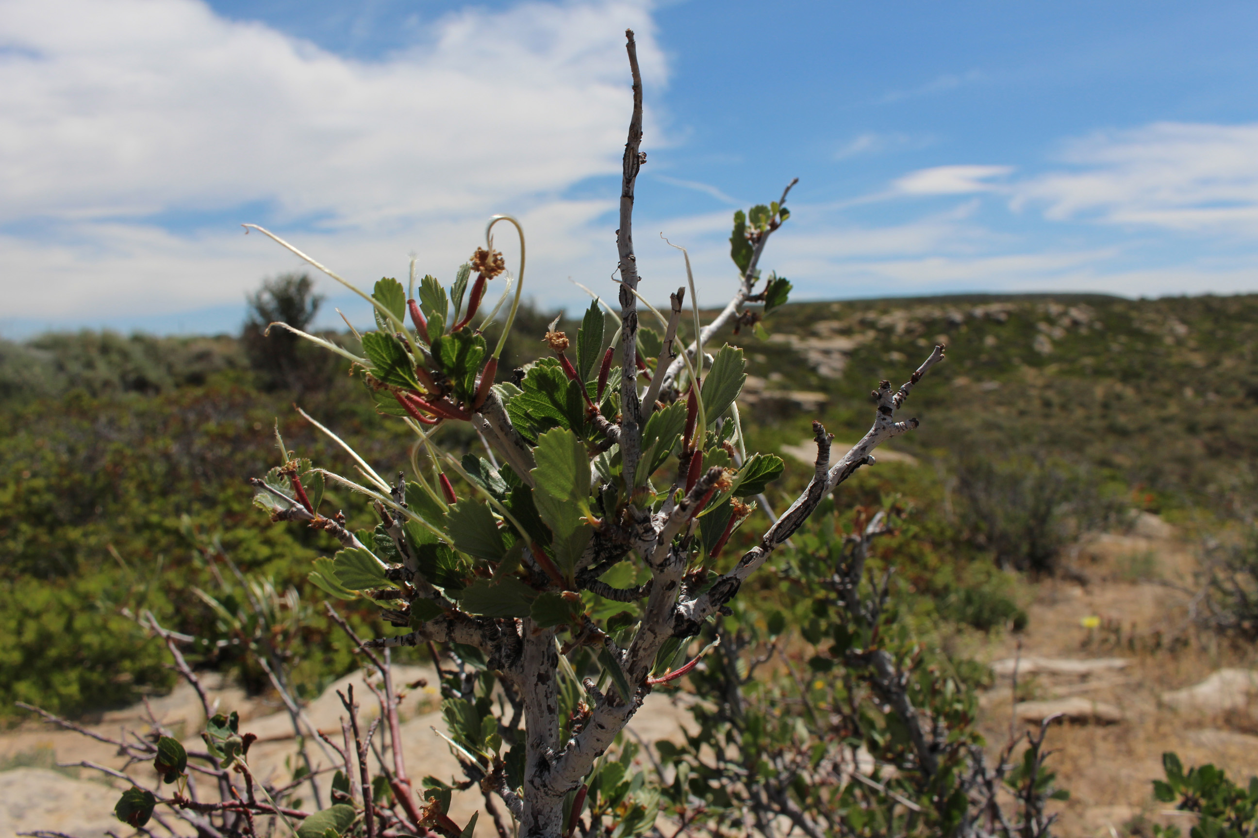
/* flowers it Escalante Staircase National Monument */

IMG_2573

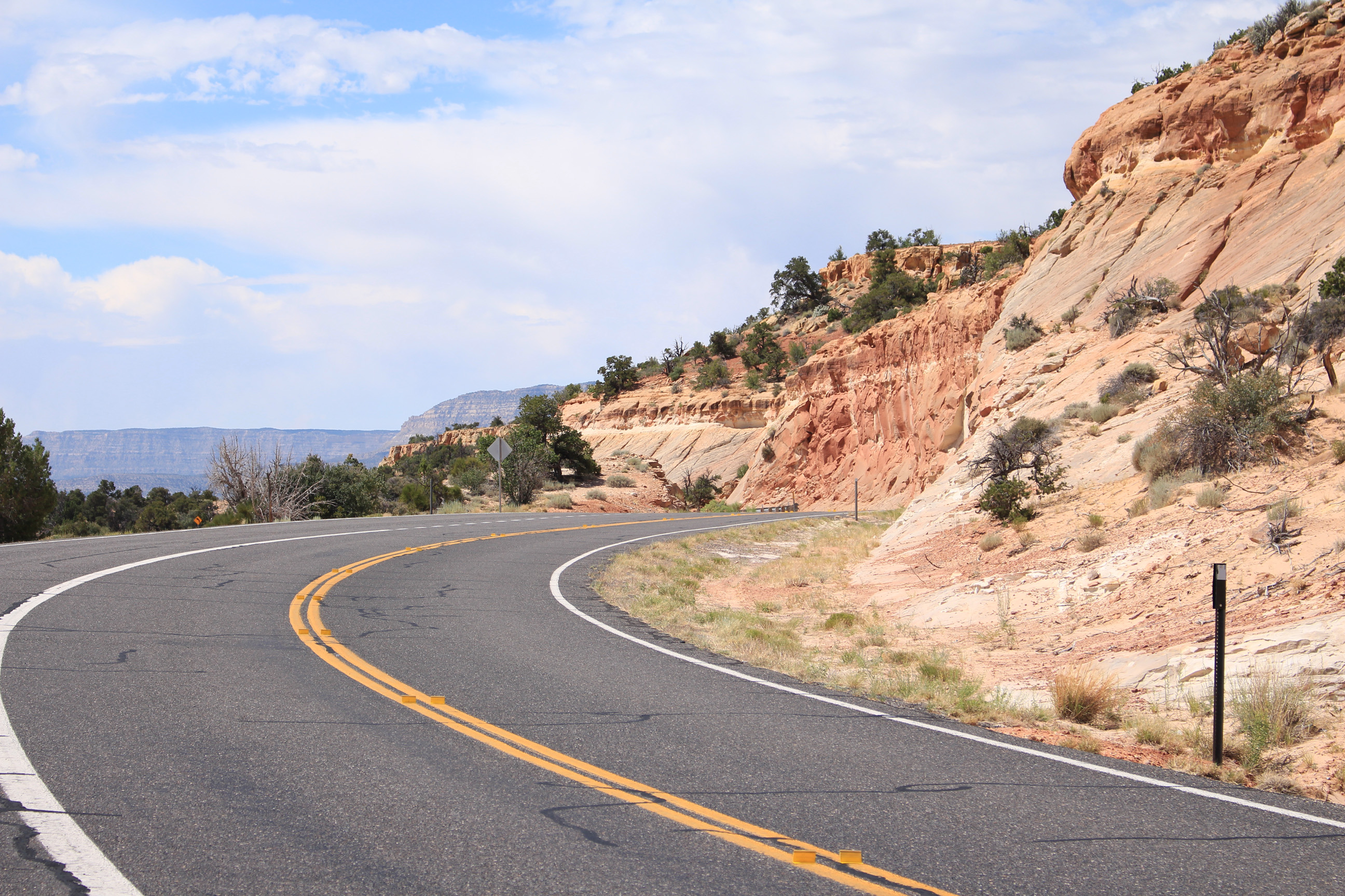
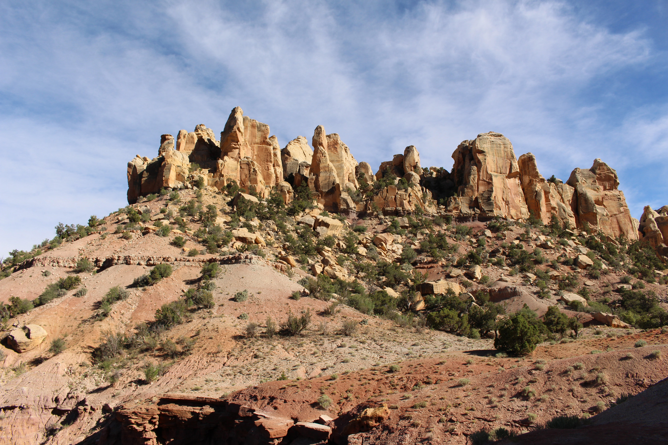
/* pass at Escalante Staircase National Monument */
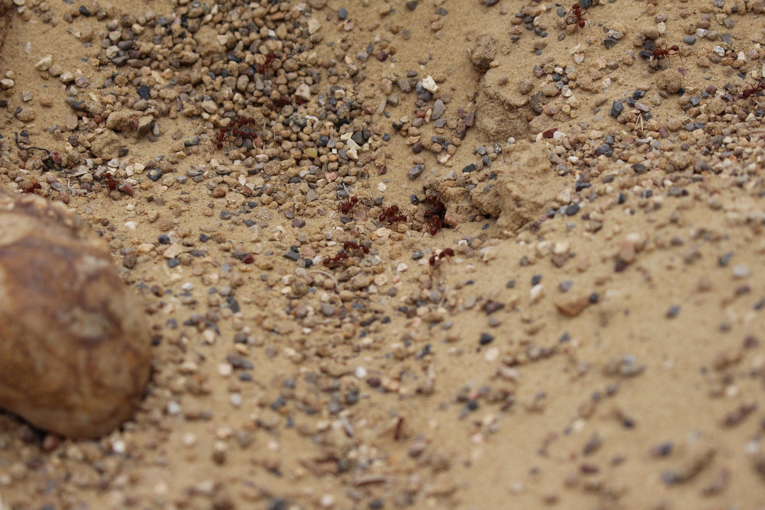
IMG_2595

/* army of ants */

IMG_2604

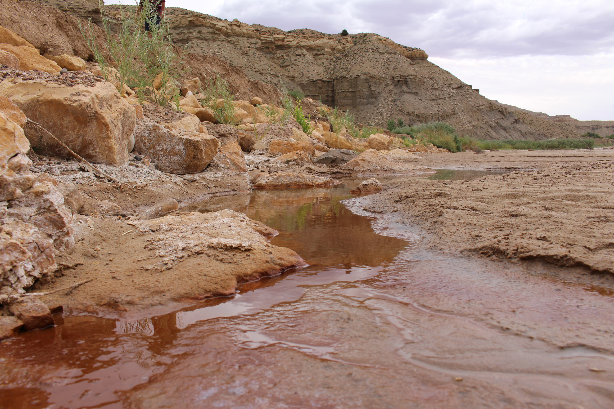
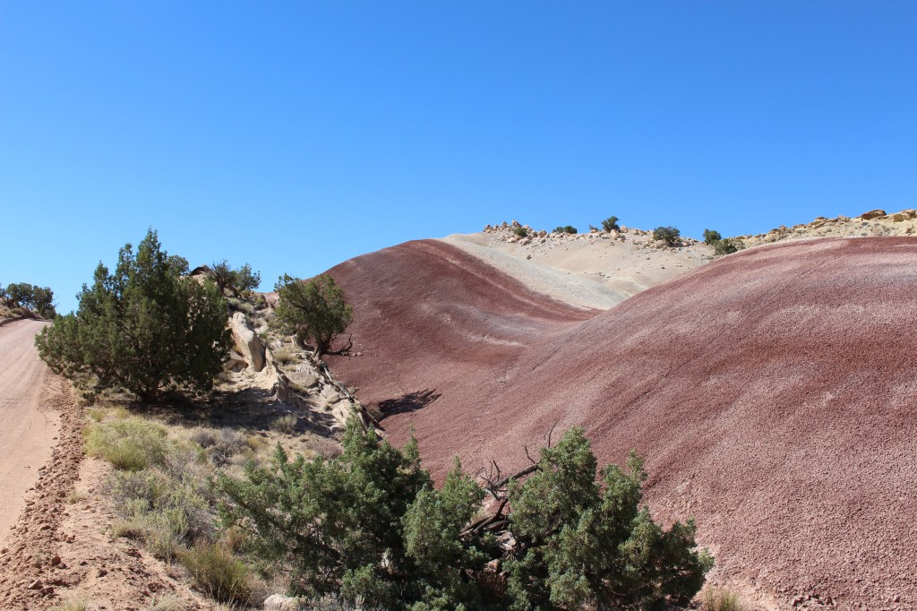
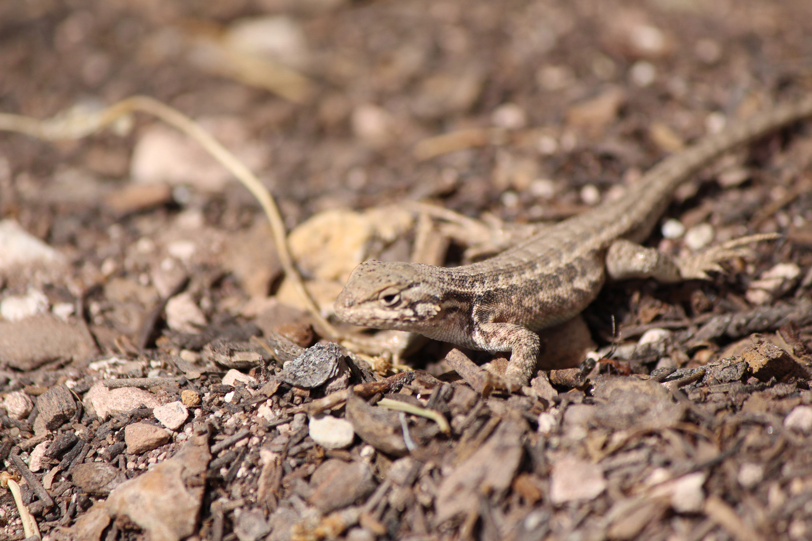
/* wash at Cottonwood Road */
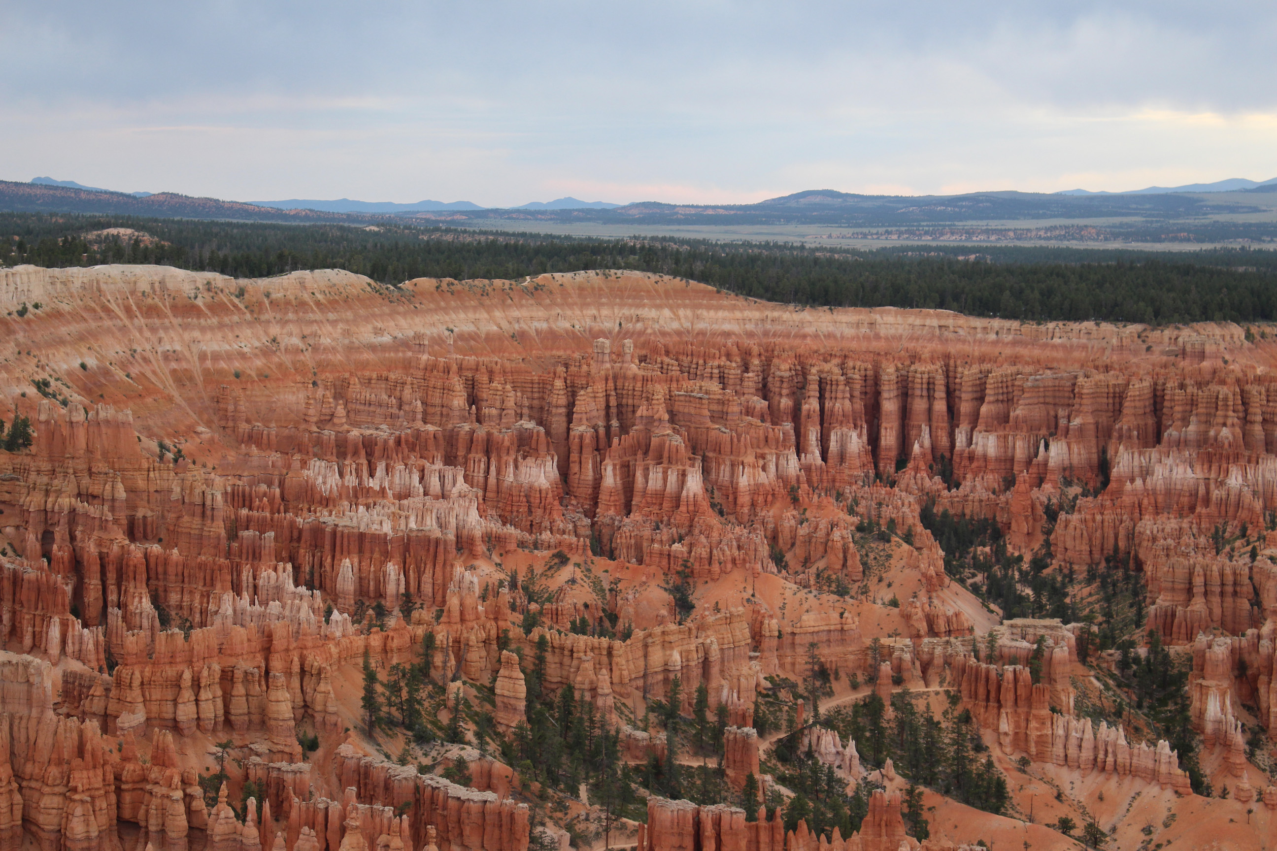
IMG_2621

/* Bryce Canyon */

15 – Fruita

// Fruita lays right in Capitol Reef National Park in the Fruity District, famous for its orchards. It is probably the greenest spot in the whole park. It was inhibited by Indians and different settlers throughout the last few hundred years. Very unique place and worth a visit.

// Calvin D. Pendleton who arrived in Junction (Fruita) in the twilight of the 19th century, built a barn here before World War I. He left other structures on the land, especially the meandering, black stone drift fences. Pendleton sold his land to Jorgan Jorgenson in 1919 and the barn changed over the years. The last owner – G. Dewey Gifford – used the barn for ever 40 years and rolled loose, cut hay from a wagon into the barn using an “A” rope with team or tractor. (source: sign in front of the barn)

IMG_2482

/* petroglyphs I */

IMG_2490

/* petroglyphs II */

IMG_2493

/* school house from the first settlers */

IMG_2494

/* class room I */

IMG_2495

/* class room II */

IMG_2498

/* wagon to transport hay */

IMG_2501

/* the barn (on the left site is the sign) */

IMG_2502

/* plough */

14 – travel to Deer Greek Campground

// 01.07.2014 On our way we had a very tasty Burger at Hanksville, in the middle of nowhere. But one of the best burgers in the USA. The Food Market Stan’s Burger is an outstanding place, every traveler coming by should stop for one. As it comes after Fruita we had to go a dirt road. We went through a landscape as never seen before. Here and there we made a short stop to have a look at a slot canyon or some nice overview.

IMG_2430

/* Moki Dugway */

IMG_2441

/* Colorado River */

IMG_2457

/* A bridge, for all the bridge lovers out there 😉 */

IMG_2461

/* one of the many RV’s standing next to a highway */

IMG_2476

/* Often the highways are part of a ranch */

IMG_2490

/* petroglyph at Fruita*/

IMG_2504

/* rock formation or more a pile of sand/rocks next to the dirt road */

IMG_2512

/* the yellow stone layer */

IMG_2536

/* growing three in a slot canyon */

13 – Desert

/ 30.06.2014 Our last day at the beautiful Arches National Park. After our standard oat-meal and bread breakfast we made our way out. Passing by the stream of incoming visitors we had a quick stop at Moab (enough water and ice for the desert) and hit the road south on the interstate 191 from Moab to Monticello. On the junction with the county road 133 we drove west until the Needles Overlook. There you have an overview which is hard to describe. You see until the horizon and have absolutely no height or width to relate. Below your feet it falls 1800 feet and have a formation of multiple layers of rock. Somewhere in there is the Colorado River flowing. Spending a few moments at this impressive place and a long talk with an elder Dutch couple we looked for a shadow place to have lunch. We ended up at the Visitor Center of Blanding. Not long after we set tent at the Goosenecks State Park. Unbelievable hot and very dry winds, as I have never experienced before. Around 40 Degree Celsius (103 Degree Fahrenheit). We camped right on the cliff to the San Juan River, a place which gives a constant dose of adrenaline in the fear of falling down (as the wind and the heat give you a dizzy walk). We left our tents and enjoyed the sunrise at the Monument Valley Navajo Tribal Park. Again a place hard to describe (excuse me for the rare descriptions, but the red rocks get redder and the heat stronger). At nine in the evening it was finally cold enough to have dinner, a steak as usual.

IMG_2227

/* Needles Overlook */

IMG_2236

/* Valley of the San Juan River */

IMG_2244

/* Tent on the cliff */

IMG_2265

/* On the left the tent of my parents and right mine */

IMG_2278

/* Mexican Hat */

IMG_2298

/* Way to Monument Valley */

IMG_2329

/* One But */

IMG_2380

/* dramatic sunset */

12 – Arches National Park II

// 29.06.2014 Packed and ready to leave, we got interrupted during breakfast by a lady. She told us we could stay another day at the campground, great, unfortunately I already let air out of the air mattress, which I got reminded of before I got into bed.The morning we spent on a small trail. In the afternoon we had a short visit at Moab, got new ice and food. In the evening we enjoyed one of the Rangers presentation at the amphitheater. At night we worked on our night shots, which is a very complicated thing to do. I chose one shot for you, but not to judge, it is not easy to do.

IMG_2045

/* An arch and me */

IMG_2057

/* one of the rock layers */

IMG_2070

/* stick */

IMG_2078

/* cut through the layers of rocks */

IMG_2115

/* the entrance of our camp hosts place */

IMG_2220

/* One night shot with an arch */

11 – Arches National Park

// 28.06.2014 In the morning we were greeted by a lizard. Not leaving the park we enjoyed a 6 hours hike from the campground through the Devils Garden. As imagined that the arches are standing alone was proven wrong that day. The hike brought us to the bottom of canyons and of the top of buttes. The first 3 hours we were one the “mass tourism road”. After that we enjoyed a very pleasant when not toasty hike, going by the private arch. Hot doesn’t describe the temperature, it’s combined with very dry air, leaving us with the urge to continuously drink water. At 3 o’clock we had lunch and drove to the other arches and had a quick look at them. If you planning on staying at the campground of the Arches National Park you have to reserve in advance. They recommend to do it it 4 days in advance, but we were lucky to get a place 3 weeks in advance. We stayed 2 nights at the campground.

IMG_1881

/* lizard in the morning */

IMG_1884

/* Landscape Arch */

IMG_1890

/* Navajo Arch */

IMG_1903

/* Private Arch */

IMG_1907

/* wind carved rock */

IMG_1926

/* Red Rocks */

IMG_1933

/* Double O arch */

IMG_2034

/* balanced rock */

09 – Along the Colorado River through the Canyons

// 27.06.2014 Early Bird. Sleeping in the Colorado National Monument we had to get up and catch the sunrise, but it did hide behind the clouds. 🙁 After a few minutes waiting we finally had the first ray of sun at the red rocks. After the morning ceremony we had a drive from the east to west through the National Monument. Hitting the long road to Cisco, Utah. A ghost town as seen in movies (see the next post). Traveling along the Colorado River we had lunch next to an old bridge. Rosty but impressive. Further down the River we hit the Canyons as known from Luck Luck. To note the Fisher Towers. Finally we arrived at our campground in the Arches National Park. Surrounded by red rocks.

IMG_1669

/* Morning at Colorado National Monument I */

IMG_1685

/* Morning at Colorado National Monument II */

IMG_1692

/* Cactus */

IMG_1758

/* Cisco, Utah – the ghost town */

IMG_1790

/* old bridge over the Colorado River */

IMG_1798

/* Colorado River */

IMG_1810

/* valley of Colorado River */

IMG_1855

/* red rocks at Arches National Park, next to Devil Garden (our Campground at the park) */

07 – Way to the Colorado National Monument

// 26.06.2014 After a fast escape from the Mosquitos we headed up the dirt road and passed by the ranch and petroglyphs from Indians. Arrived at the top we spend some minutes to overlook the Dinosaur National Monument. I will post a video form the miles between the two monuments later so you have an impressions of endless miles of the west. We ended in Colorado National Monument, which wasn’t planed, but it is beautiful. We will try to catch the sunrise tomorrow. Cheers!

IMG_1307

/* Morning at Echo Park Campground */

IMG_1316

/* Steam Boat Rock */

IMG_1323

/* Petroglyphs at Dinosaur National Monument */

IMG_1334

/* Red Rocks */

IMG_1366

/* Wagon from Chew’s ranch (see post 06) */

IMG_1392

/* random bug */

IMG_1399

/* valley of the Dinosaur National Monument */

IMG_1413

/* Chew’s Ranch from above (see post 06) */

IMG_1416

/* Lizard at Dinosaur National Monument */

IMG_1440

/* Random tree */

IMG_1483

/* Typical road through the Rockies in the east */

IMG_1501

/* Truck climbing its way to Dinosaur National Monument */

IMG_1544

/* Arrival at the Colorado National Monument */

IMG_1599

/* Colorado National Monument I */

IMG_1656

/* Colorado National Monument II */